Our team has made superb enhancements to the Visrez Interactive Maps & Floor Plan Builder tools. Here is a brief outline of what’s new.

Use any Basemap Format
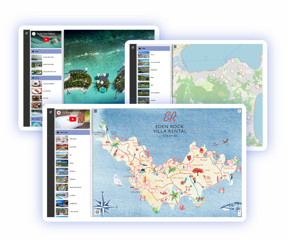
Our users can now create interactive maps using any existing illustration, graphic or aerial photograph. This opens up the Visrez platform to clients with no requirement for 3D map production. Clients can create interactive maps independently without any assistance from our team. Interactive maps can be based on any source graphic such as illustrations, elevations, 2D renderings or aerial drone photographs. The intuitive editor allows you to add markers, internal pages, photo galleries, links and calls to action. Once the map is ready just copy & paste the code into your page(s) to display the map across your website. Maps can also be shared using a direct link and all future changes made in Visrez appear automatically on the front end.
Location Maps with GPS Co-Ordinates
Users can now add GPS co-ordinates to map markers and save them onto a geographic map similar to Google maps but without tracking or competitor information displaying in your site. This is a great enhancement as it means you can switch between the basemap and a geographical map by clicking on the layers. You can now add GPS co-ordinates into the marker settings so the location can be highlighed on a sattelite or graphical map within the Visrez application.

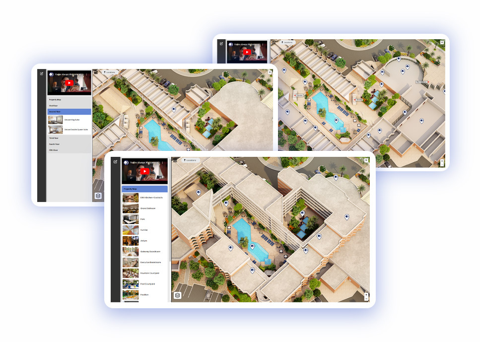
Display Building Floors as Layers
Opening up a building to understand how the spaces flow together can now be done using the floor layers tool. This feature provides a great way of exploring inside a building by categorizing maps by internal floor layers. As the users switches floors in the side menu the application loads a different map layer for a detailed overview of each floor layout.
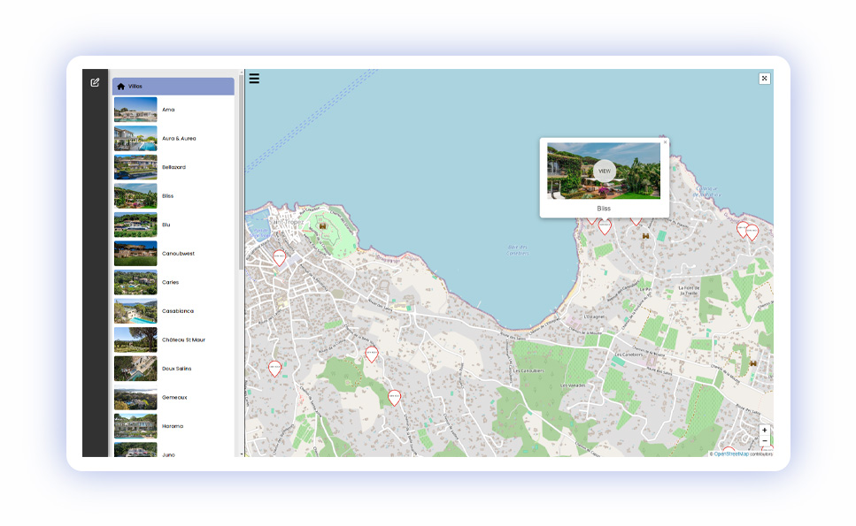
Embed Individual Map Markers in Pages
A luxury villa rental client needed an interactive map to show the location of 200 villas in their portfolio. Rather than showing one map with multiple markers thy needed to display the map on each villa page showing only the location of that villa. Our team implemented advanced marker sharing so that each pin has its own unique shared link and embed code so multiple versions of the same map can be displayed throughout a site featuring one marker on loading.

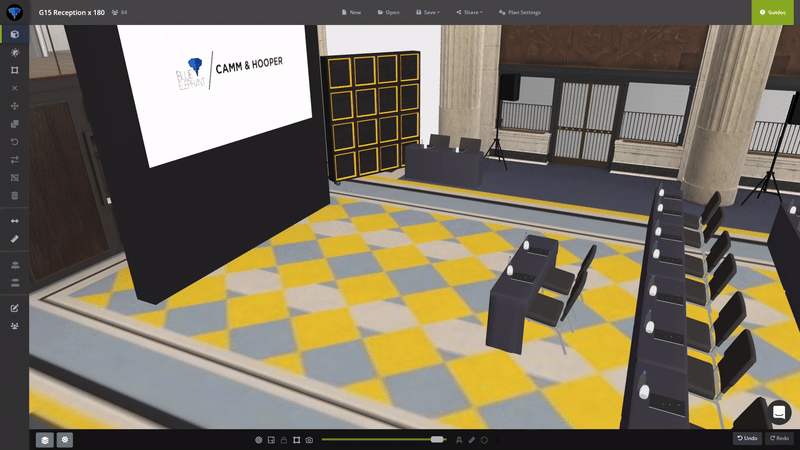
Select Tool with Move & Rotate
Our team has enhanced the select function with the move and rotate icons appearing automatically when an object is selected. This makes it so much easier to learn the builder tools as the key icons appear right away when you select an object in your plan.
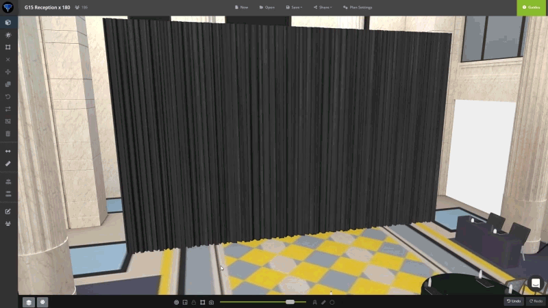
Projecting Lights in Event Plans
A really cool feature allowing users to project various colour lighting onto walls, backdrops or drapes using our new cast lighting feature. Now you can cast coloured lights onto backdrop objects in the builder making plans even more realistic and really bringing them to life.