
Visrez Interactive Map Builder
When Google maps launched in 2005 it was designed to help users get from point A to point B in the pre-smartphone age and quickly became the standard website mapping tool as it was such a huge step forward. Over the years Google added many new features and provides a significant amount of information to its users. Based on conversations with Visrez clients it was clear they needed a dedicated interactive property map tool rather than relying on Google because displaying competitors and unrelated businesses in their websites is counterproductive.
Reference Assets
Pre-Opening Projects & Renovations
FF&E, Videos, DWG’s / Floorplans, Virtual tours, Dimensions, Design References Design Boards, pictures or other reference materials are required when the project is in production so that our team can produce a correctly scaled model of the resort.
Map Production
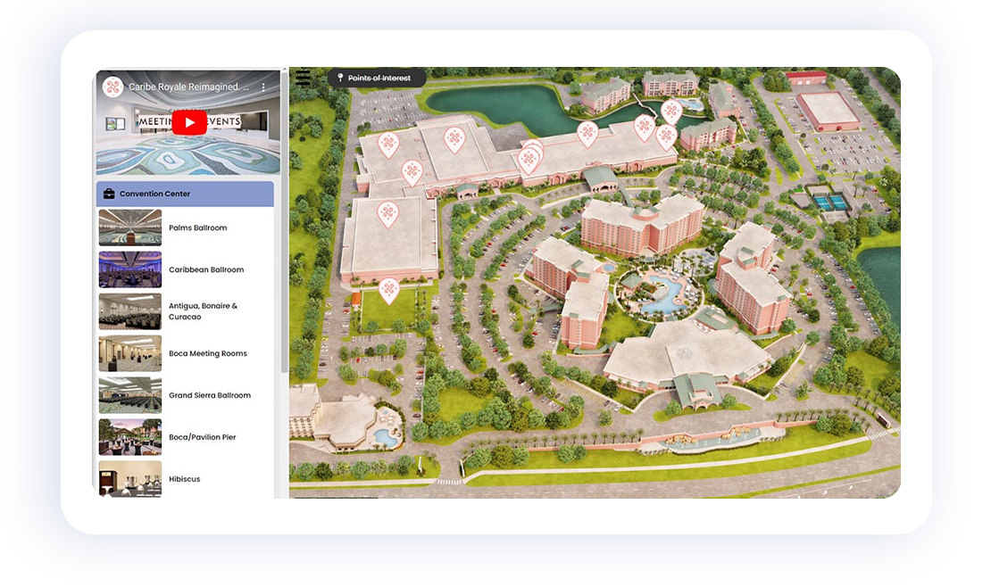
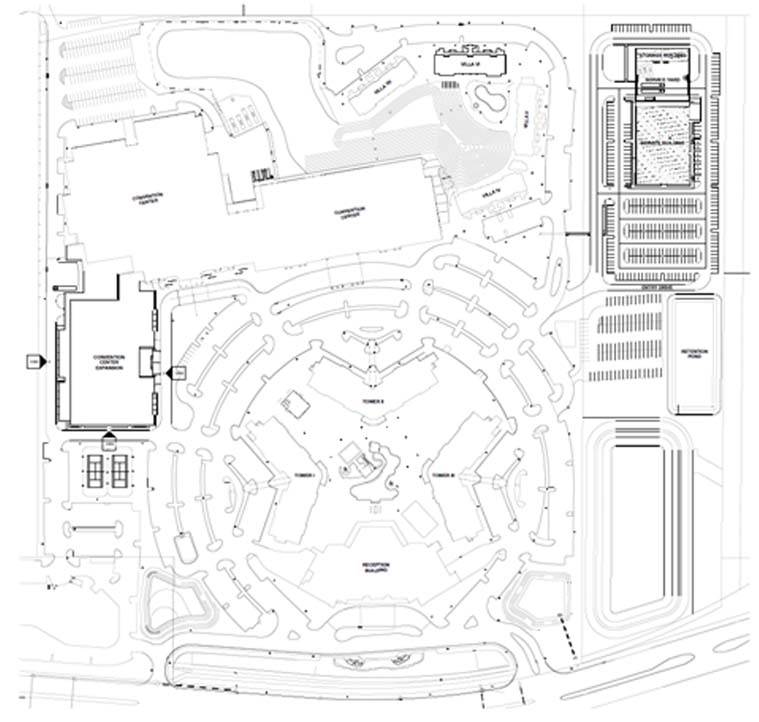
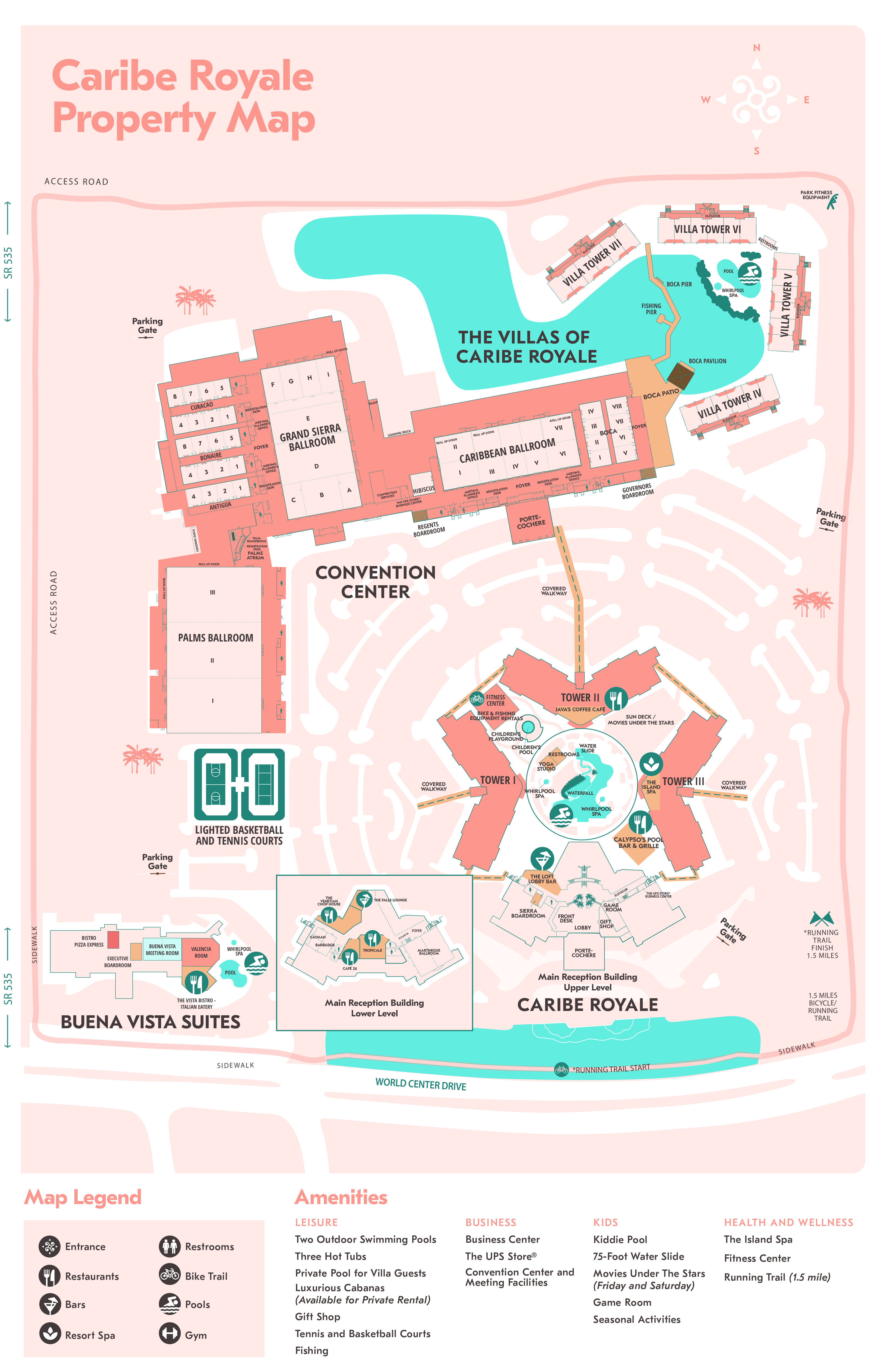
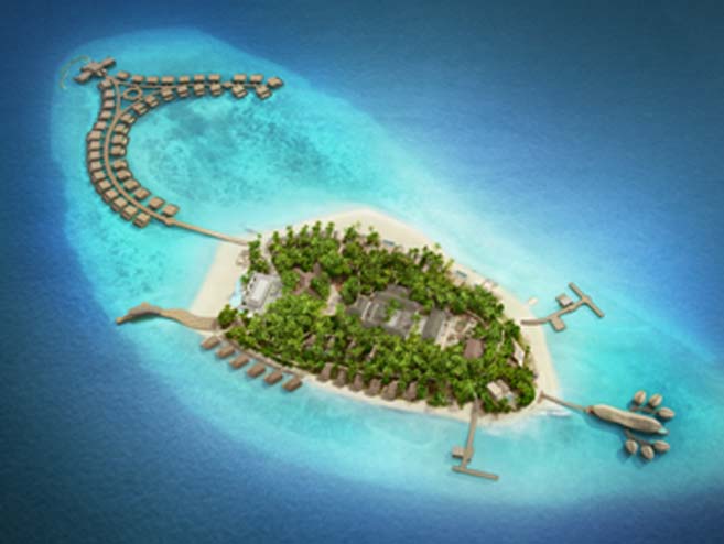
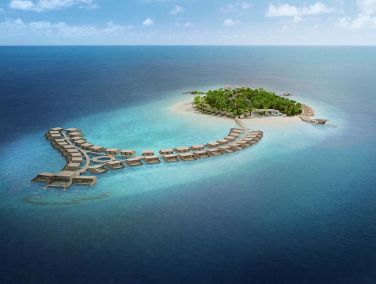
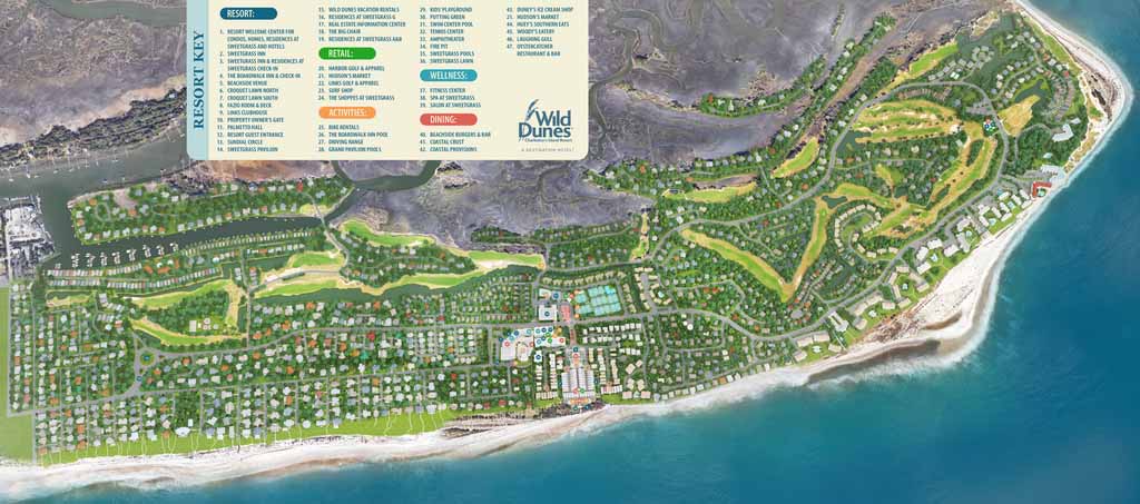
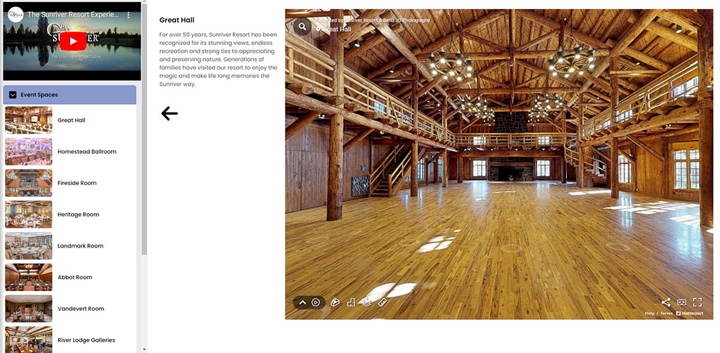
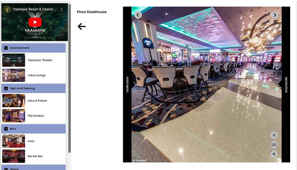
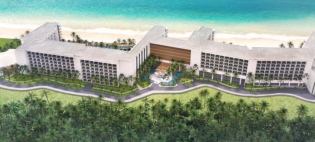
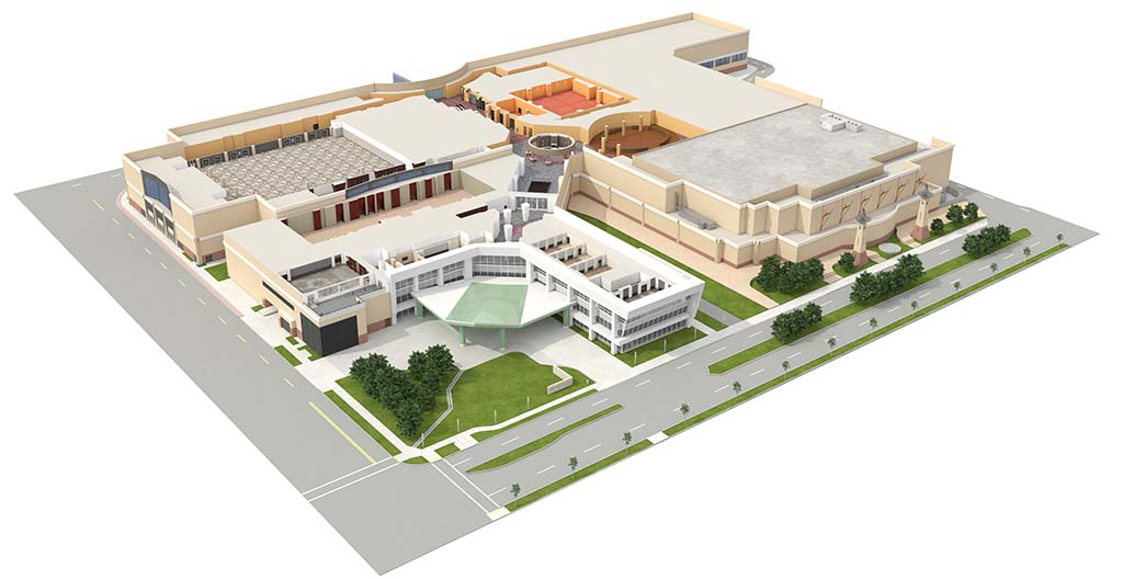
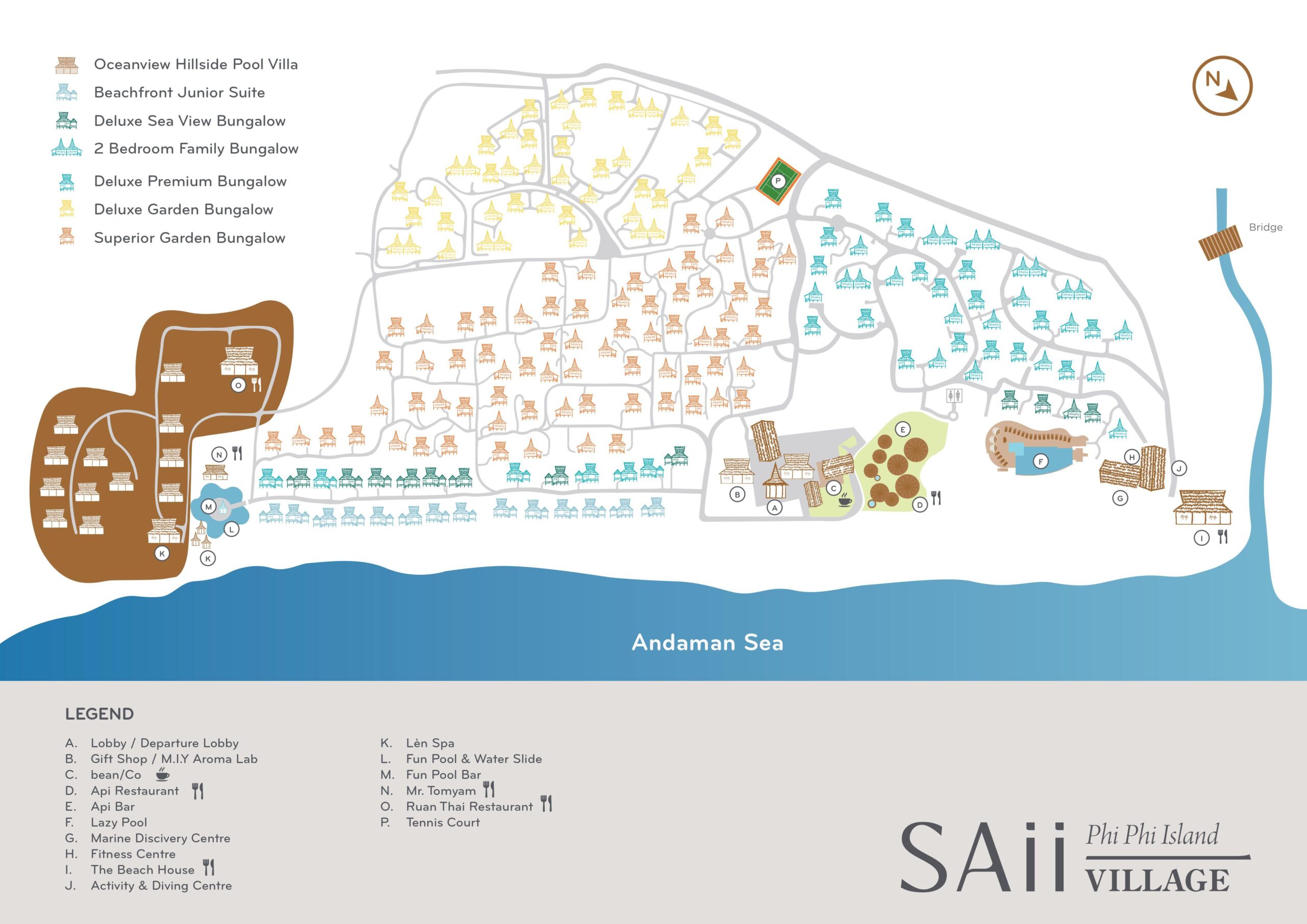
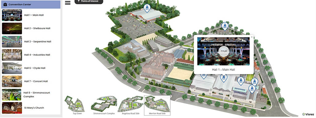
Interactive property maps are one of the most useful tools to research a leisure or conference destination as they can provide users with a visual overview of the amenities along with a list of room types, event spaces, food, beverage and leisure options. For each hotel, we are striving to capture its specific atmosphere and to express its unique character. Visrez maps are created entirely off-site using assets uploaded by clients to their accounts and can be downloaded in multiple formats for use across all digital media and print platforms.
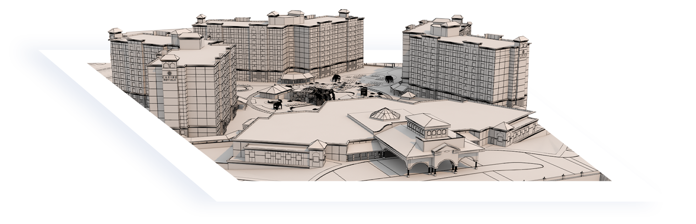
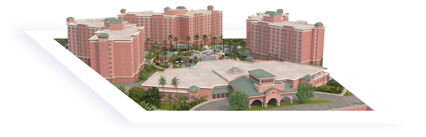
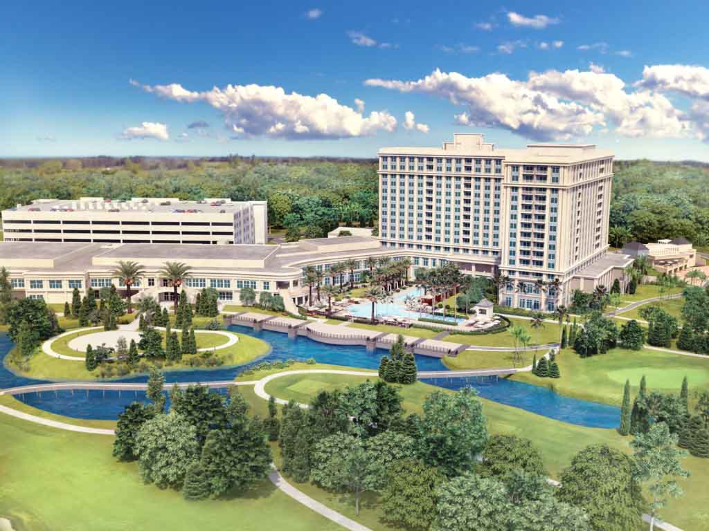
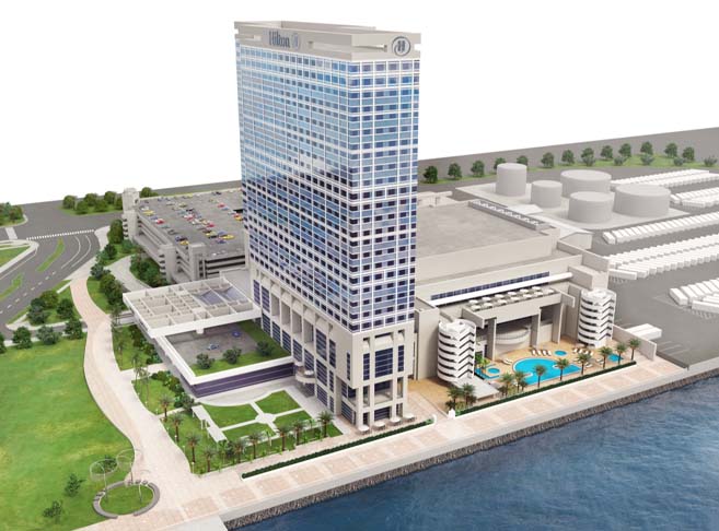
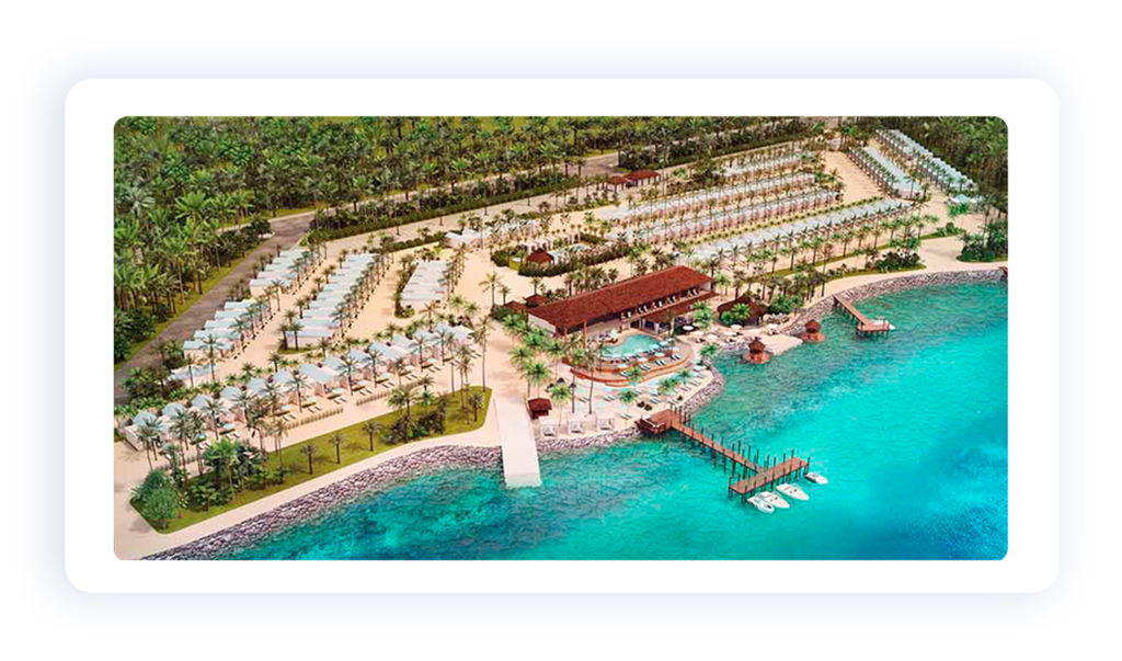
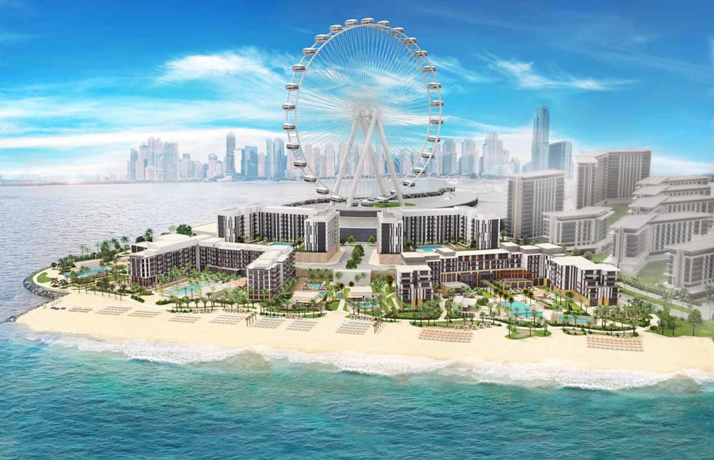
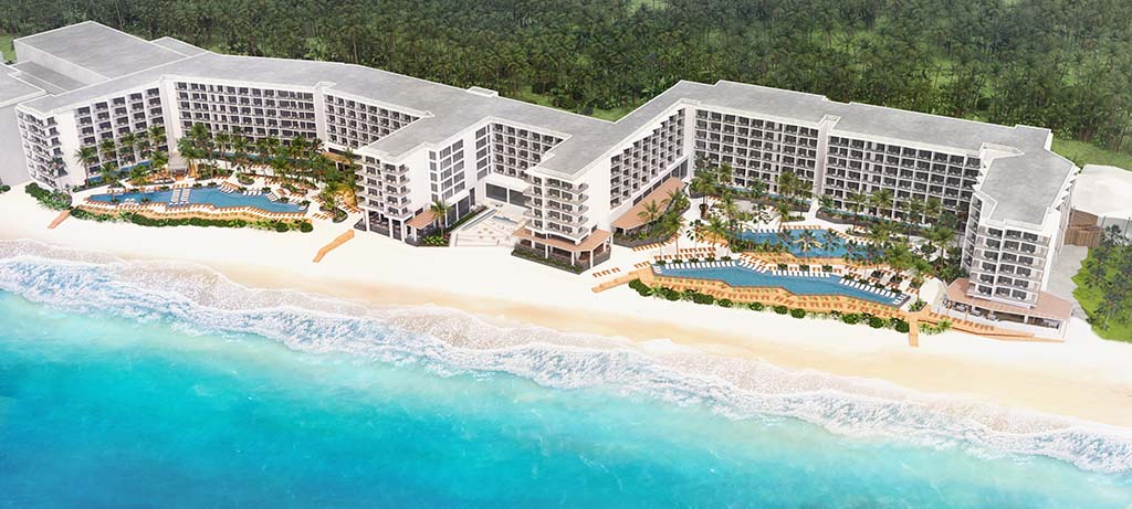
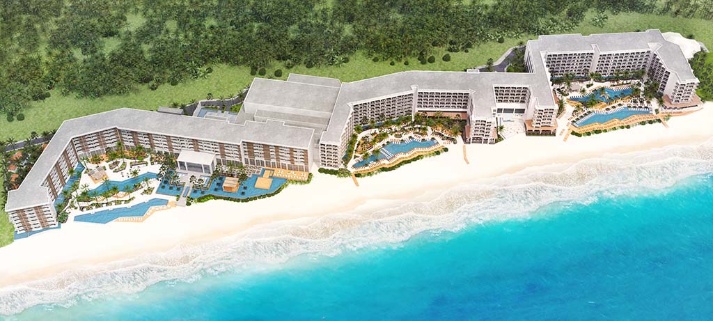
Visrez Resort Maps
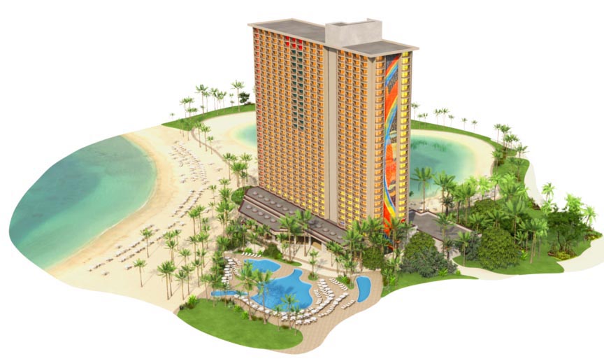
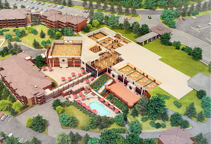
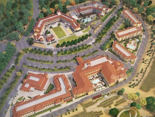
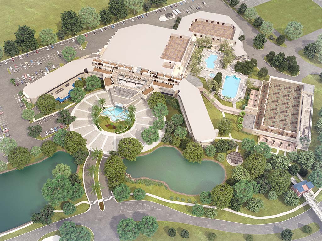
Small Resorts
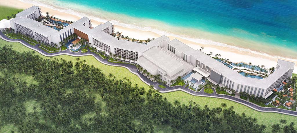
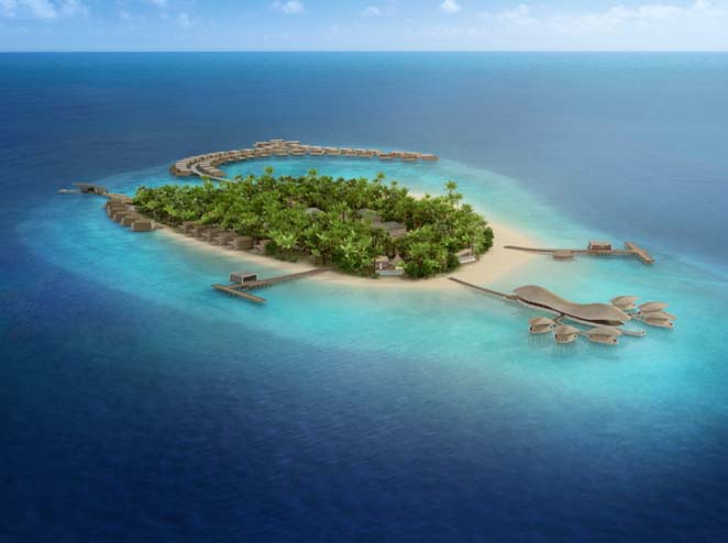
Small resorts are usually single-building resorts, surrounded by pools, outdoor amenities or a few additional smaller buildings.
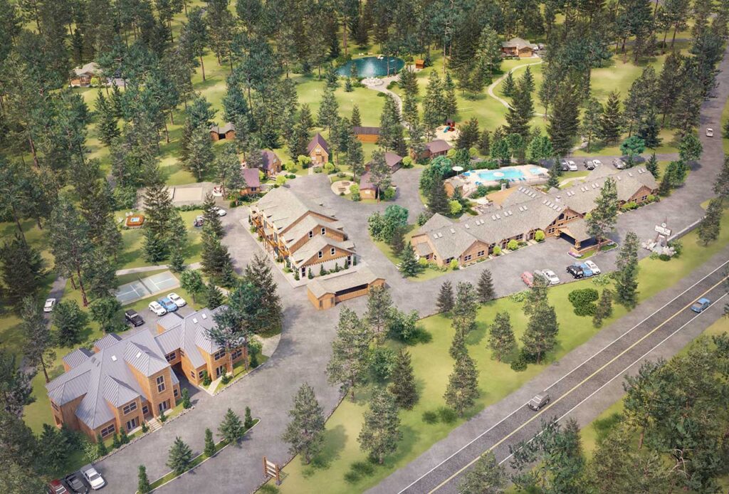
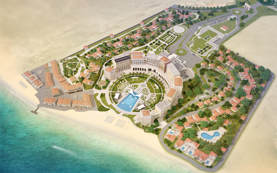
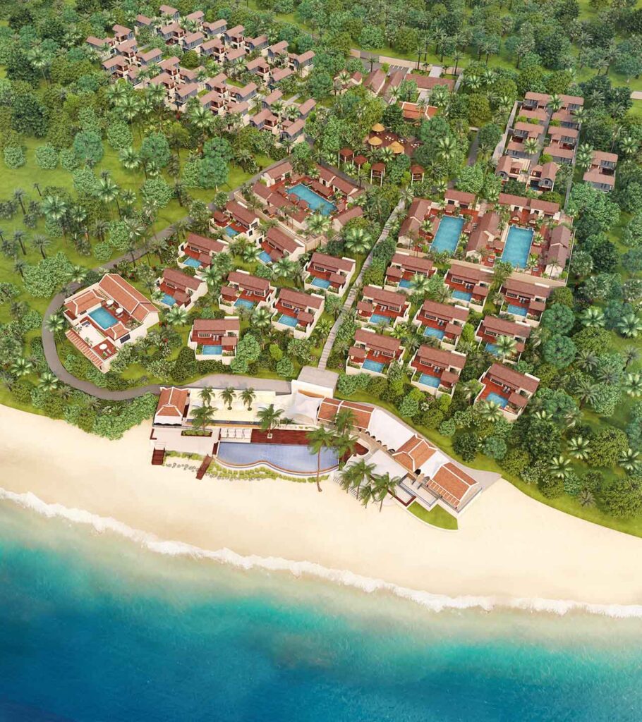
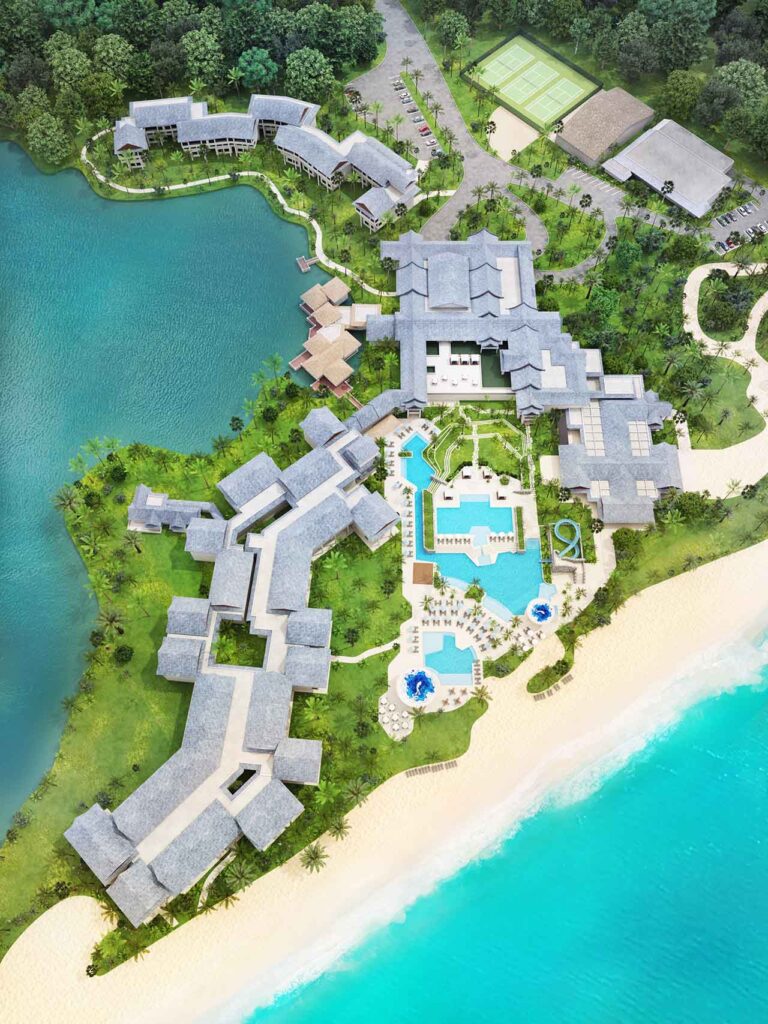
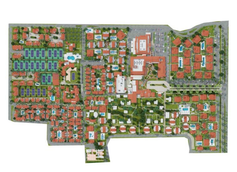
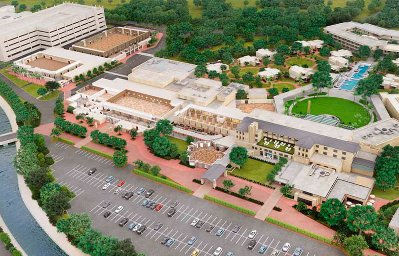
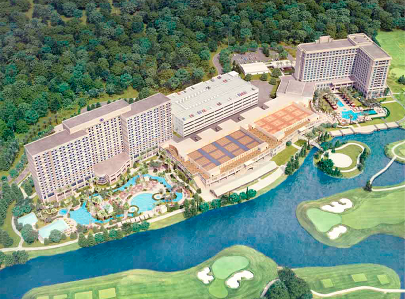
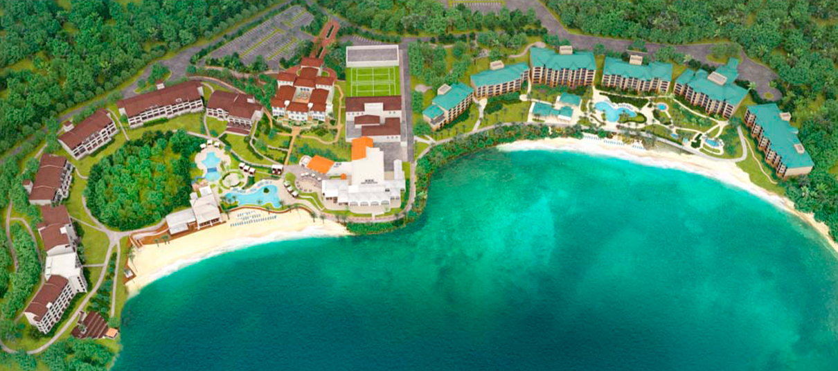
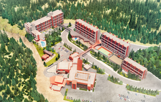
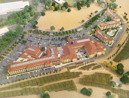
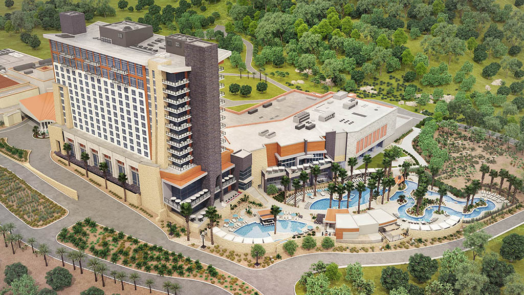
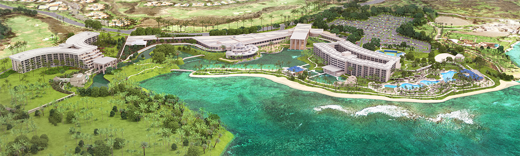
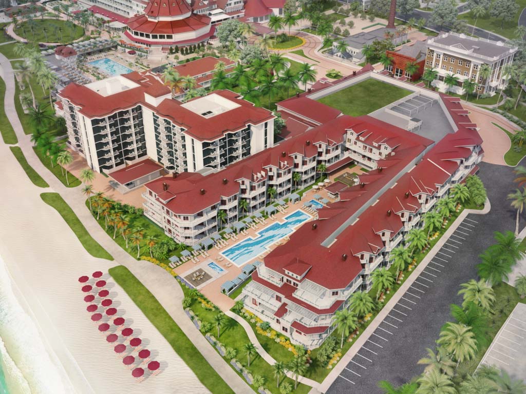
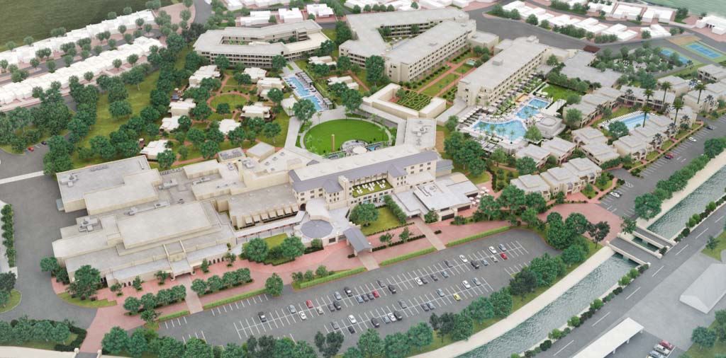
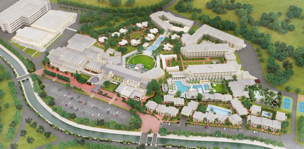
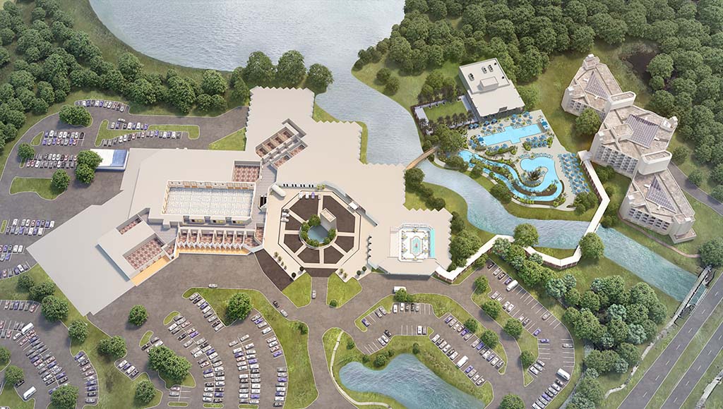
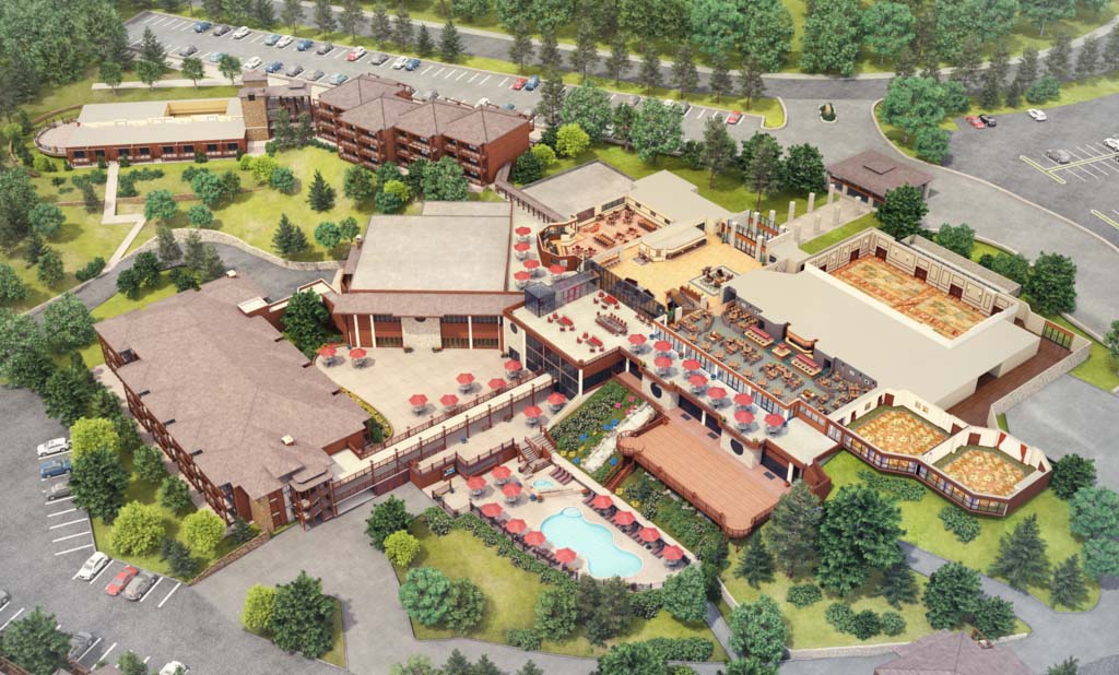
Medium Resorts
Medium resorts are composed of multiple buildings and facilities. We have created many types of resorts in this scale range.
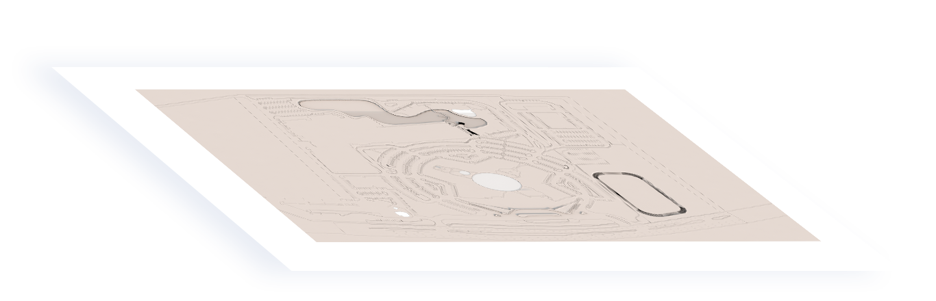
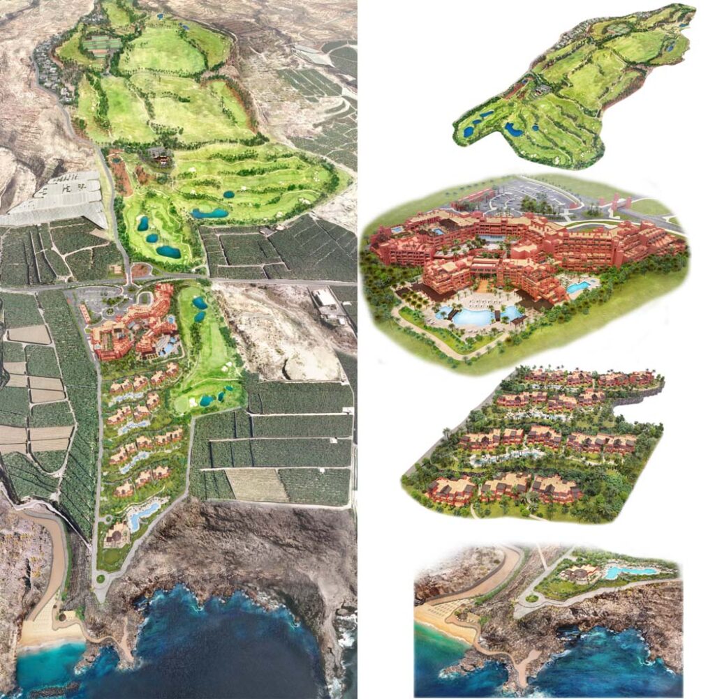
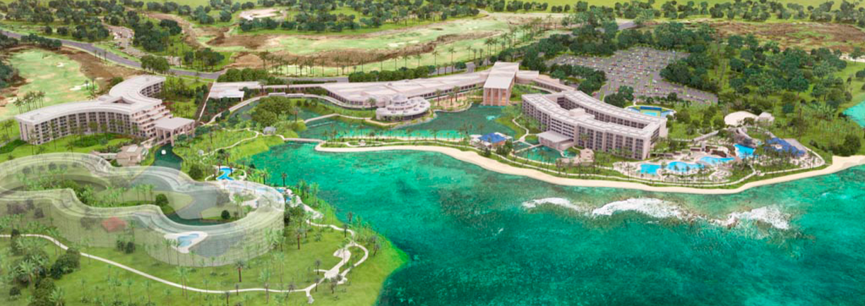
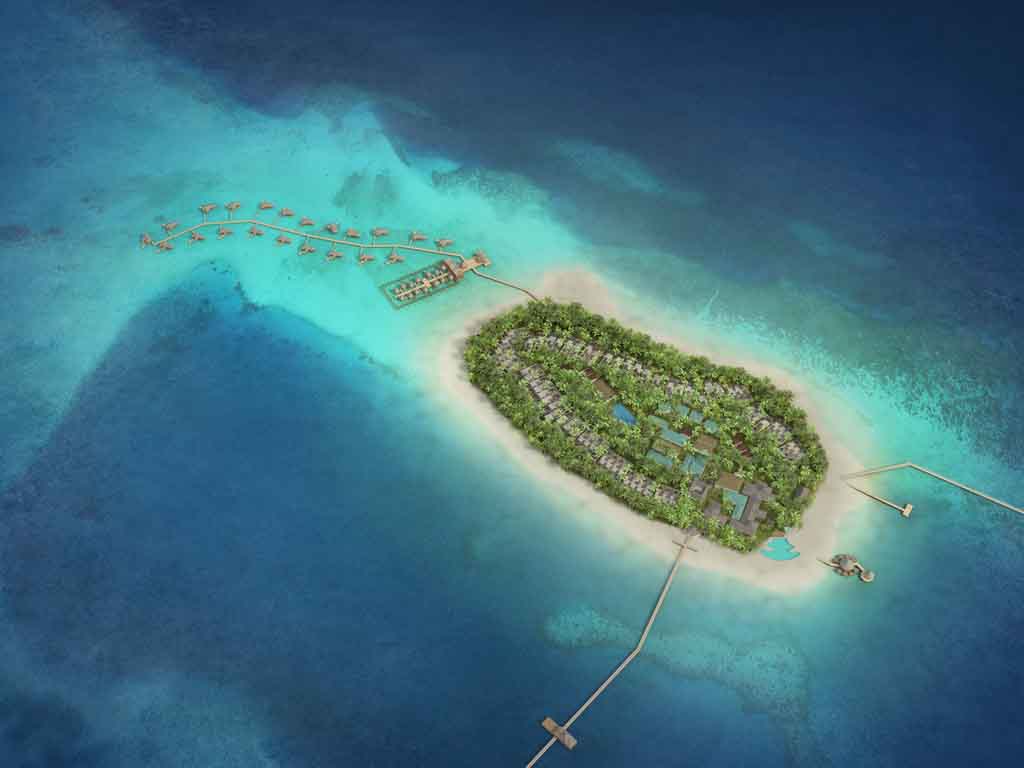
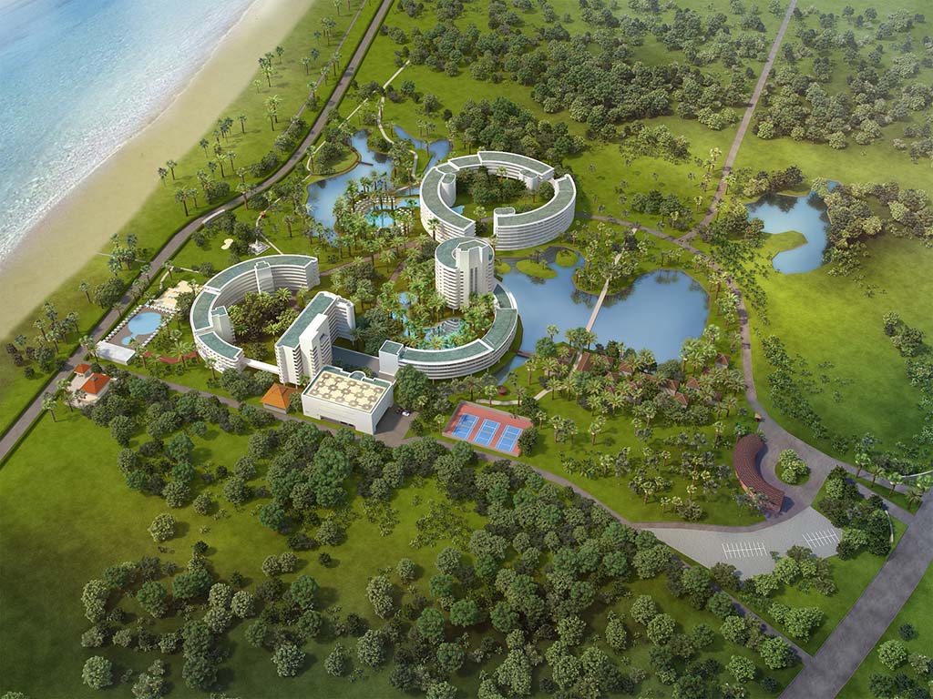
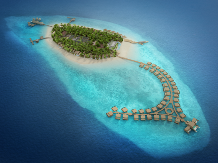
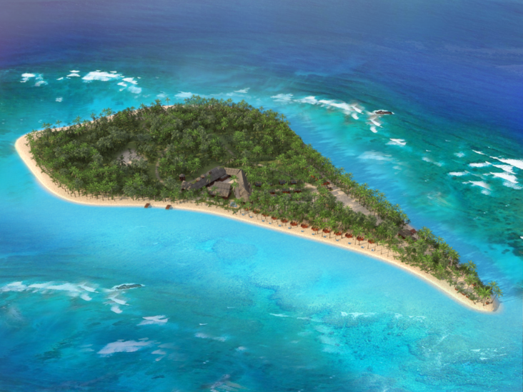
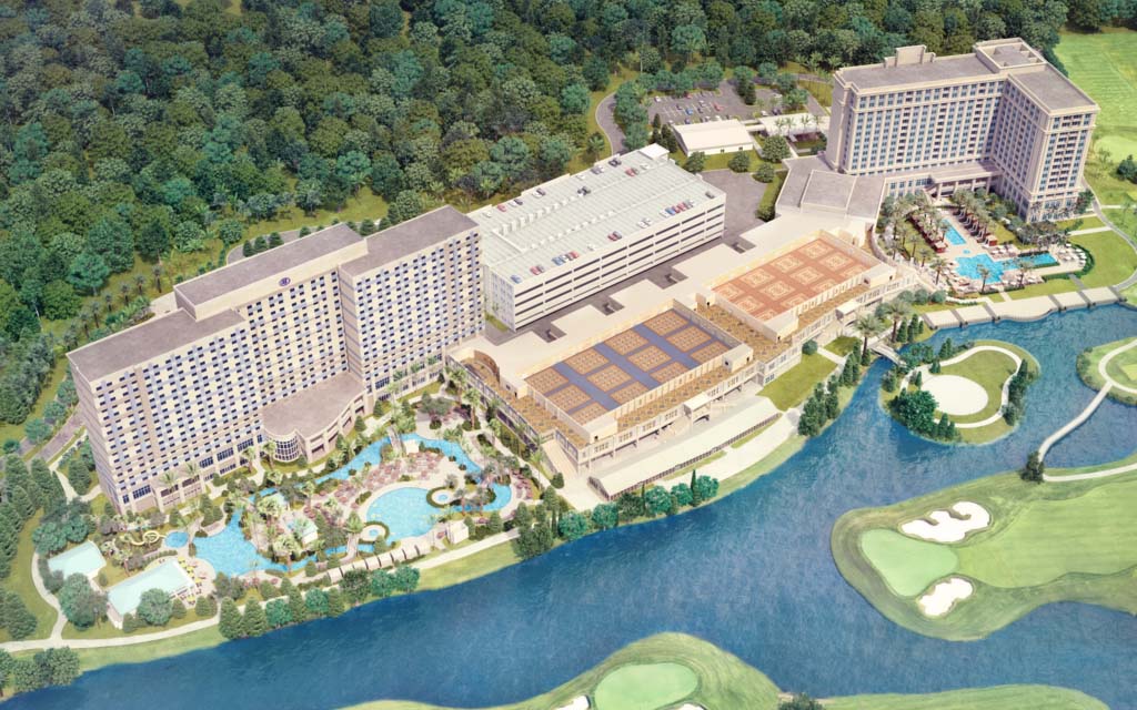
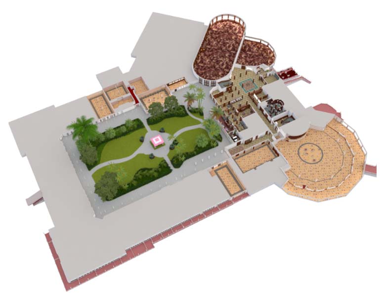
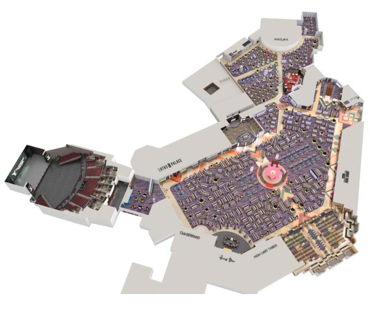
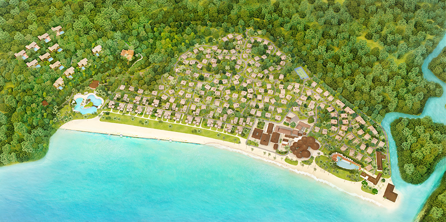
Large Areas Maps
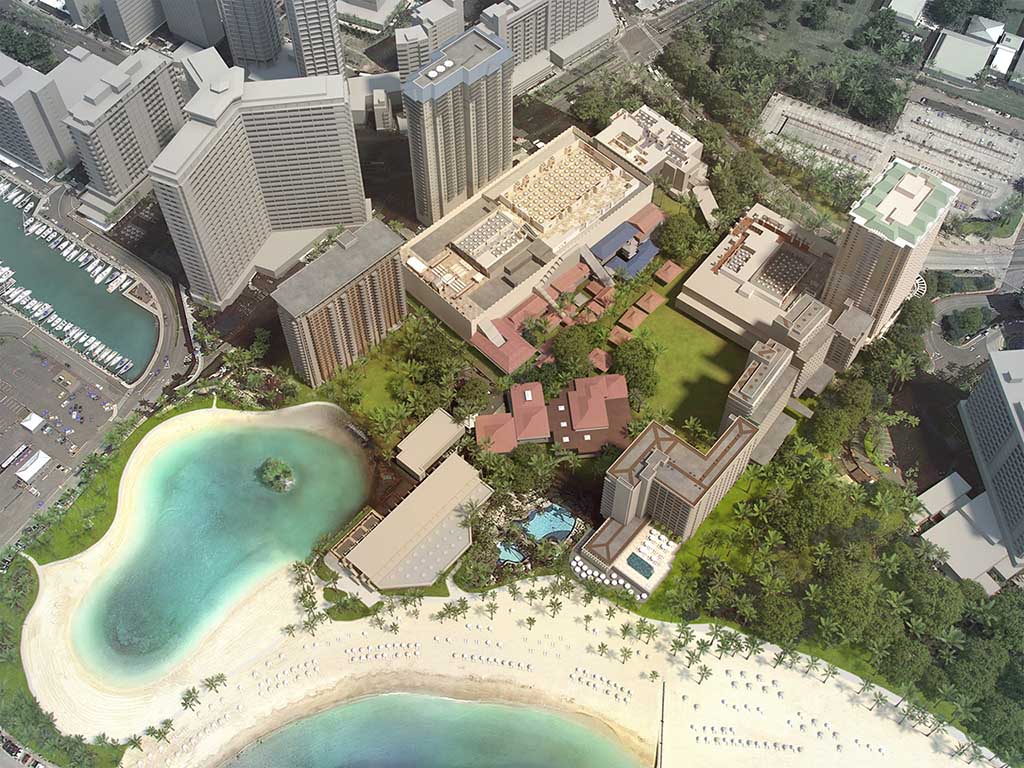
The 3D resort maps allow us to show huge areas that are hard to capture with aerial drone photography. It also allows the client to omit the surrounding structures and just focus on the resort.
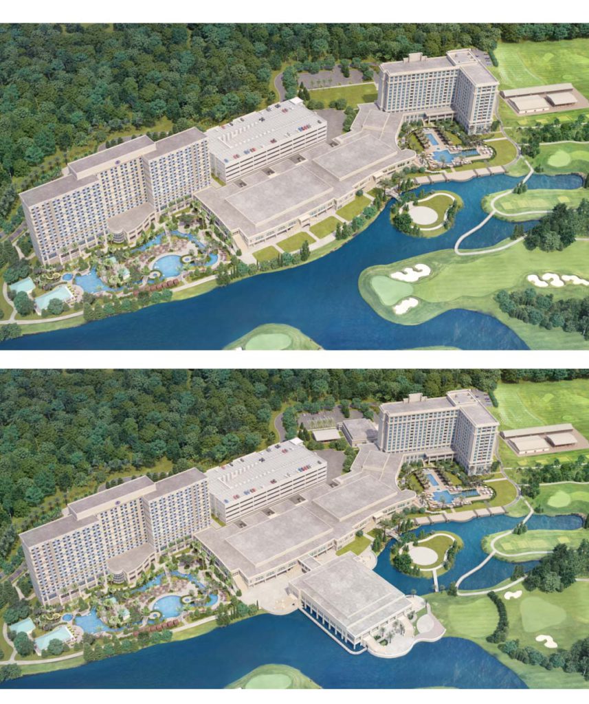
Multiple Camera Angles
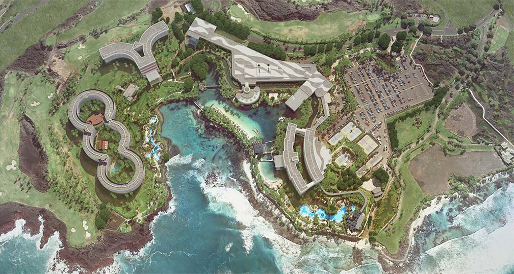
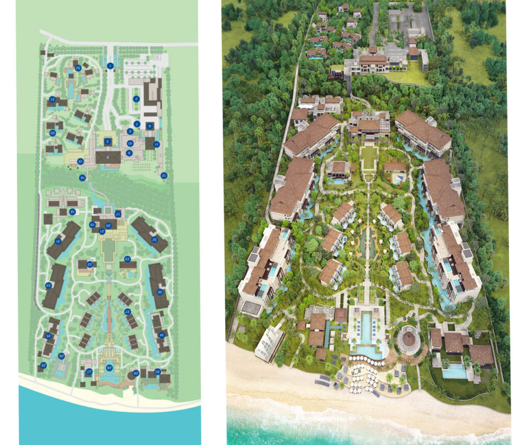
Here is an example of a very large resort on a mountainside with the terrain sloping downwards towards the ocean. Due to the scale of the property the camera is very far back so the resort detail appears smaller.
The individual areas are also created as separated assets which can be viewed on their own on the right. We can showcase buildings and resorts from a different point of view.
Color Coded Floors
Colour coding on the room types is used to differentiate between their respective views.
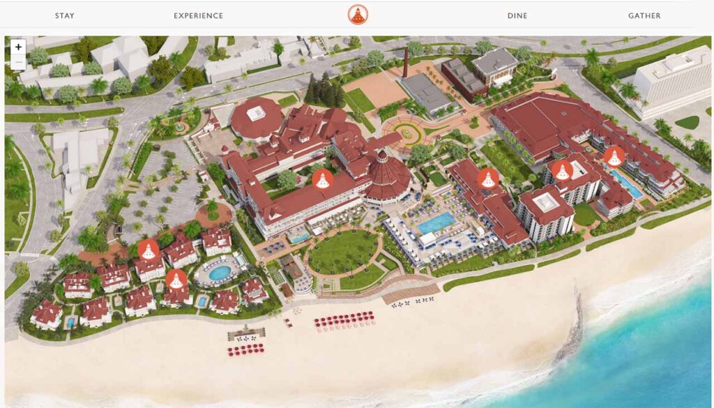
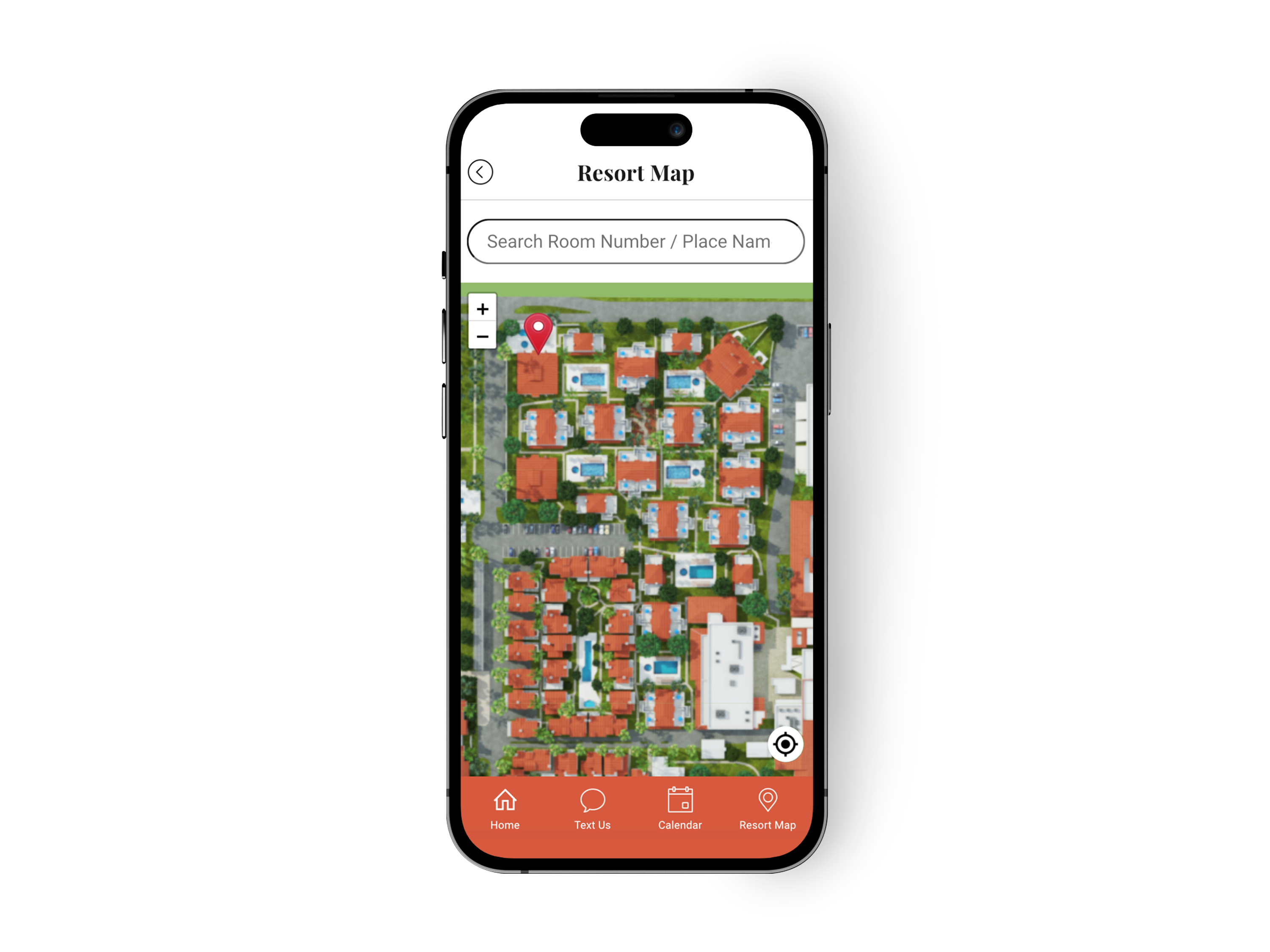
Wayfinding Tools
Visrez 3D Maps can be used in third-party wayfinding software. Our maps can also be rendered in super high-definition formats so they can be printed on billboards or any other on-site structures.

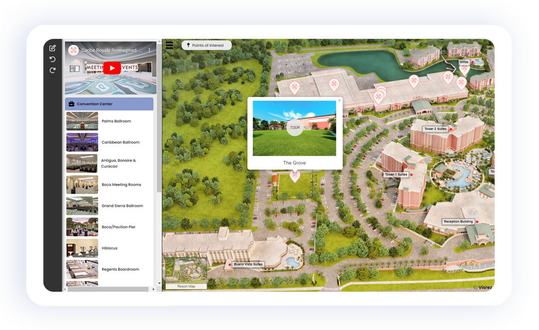
Interactive Map Builder
Camera views can be generated from any position, angle or height. Buildings can be separated to demonstrate internal floors individually or stacked. Most importantly 3D Maps can be updated over time to match future renovations on-site, you can show new developments long before completion.
Adding Branded Markers
To add a marker Edit Mode has to be activated from the top left corner button. Undo and Redo options are under it.
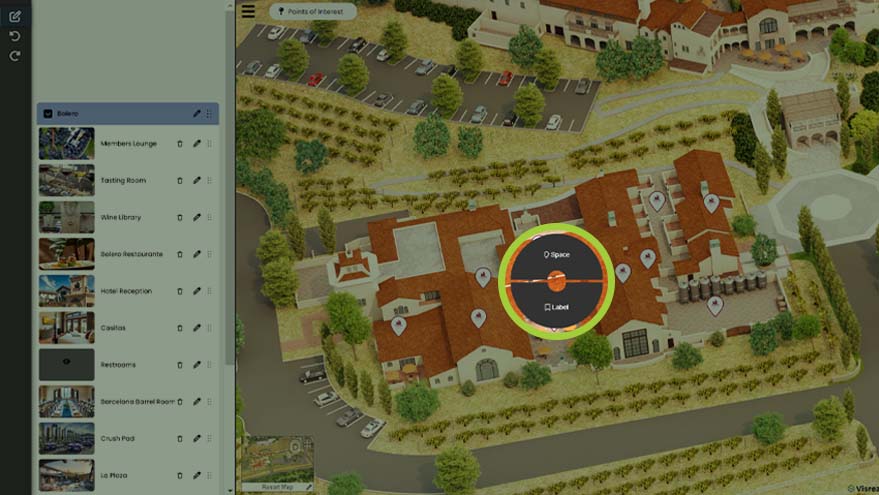
Then select a point on the map with the left mouse button on the map and choose Space or Label.
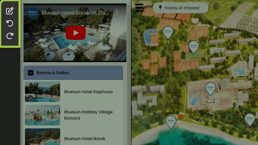
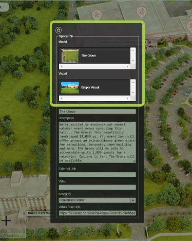
Adding Images & Links
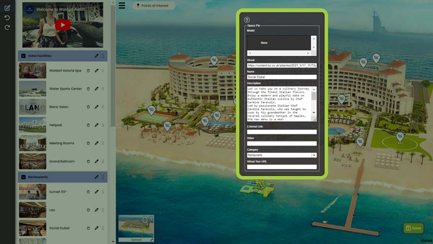
Once a marker has been created click on it to open edit options. You can set a Model, Name, Description, Visual (Thumbnail), and Video link, in Category you can either choose from the dropdown menu or create a new one.
Images can be added copying the URL code of the image and pasting it under Visual.
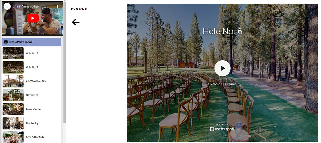
Users can add YouTube videos, Matterport Virtual Tours or any other media content easily to the interactive maps just by pasting the code into the back end. Why should clients be restricted to only using content created by one supplier as supporting all media formats makes the interactive map an even more valuable resource for our clients.
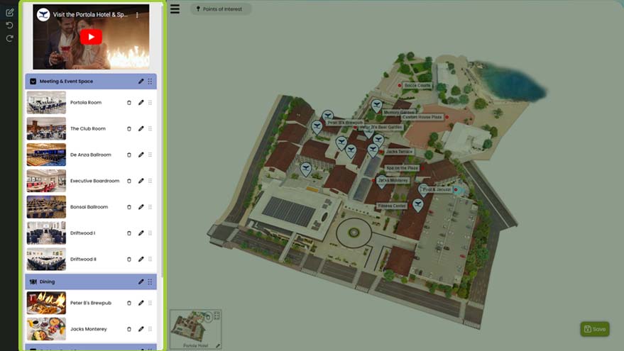
Organizing the Menus
Categories and Markers previews can be rearranged on the left menu with drag and drop. Also, names can be changed.

Categories and Markers previews can be rearranged on the left menu with drag and drop. Also, names can be changed.
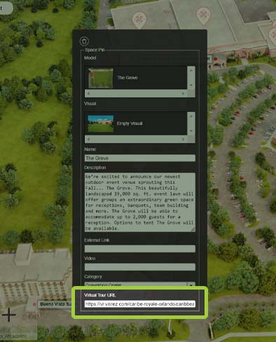
Adding Videos to the Map
To add videos copy the URL code of a video and paste it in Videos.
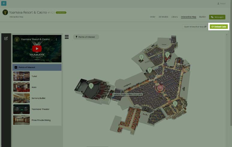
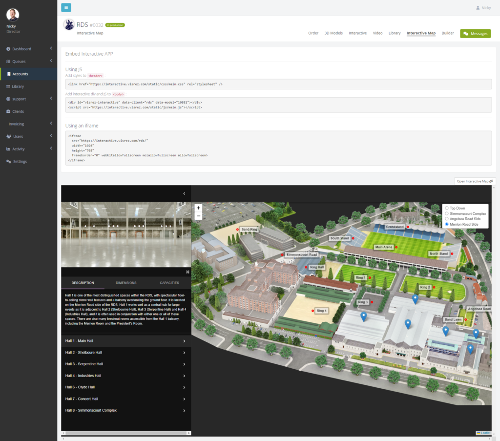
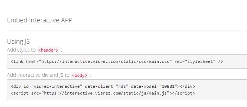
Website Integration
Interactive Maps can be added to a website using a single line of code from your Visrez account from the Embed Code button.
The map automatically uses the styling from your website so that fonts, background colors and buttons blend with the site. Most importantly if you switch website vendors the interactive map can go into your new site by adding the code.
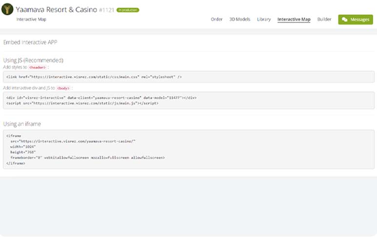
To embed the Interactive Map in website copy Using JS or Using an iframe and paste it in your page.
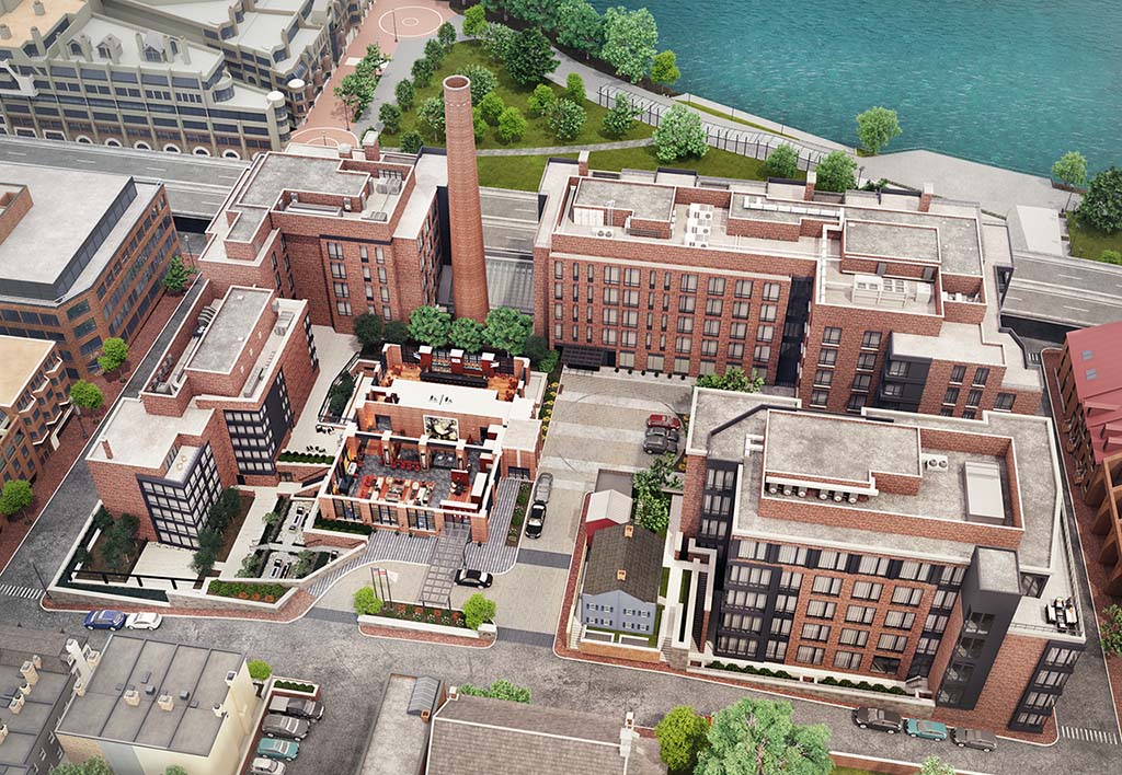
Pre-Opening Projects
Visrez has generated hundreds of resort maps for clients worldwide including projects at concept stage, pre-openings or renovations and upgrades. Once a set of models exist in Visrez they can be modified at any time. This is what makes Visrez such a smart choice for hotels, resorts and convention centers because your team will always have the most up to date visual assets to generate sales.
Interiors
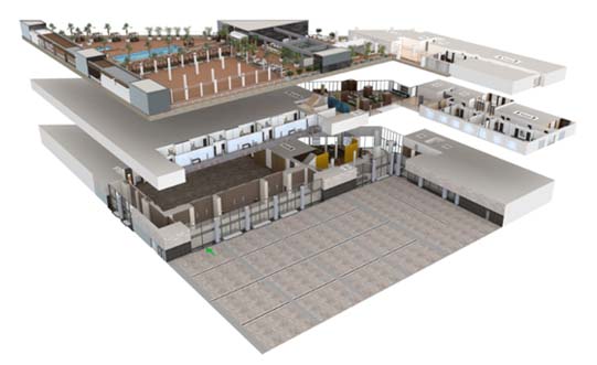
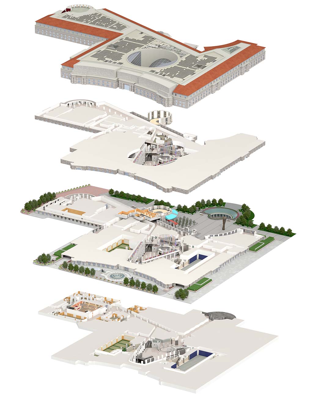
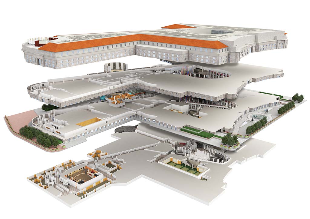
Building models could be used not only to show the exterior of a hotel but also to easily display the interior layout of entire hotel floors.
Interactive Floor Plans
Stacked views demonstrate the flow of the spaces and floors in an impressive way. Full buildings can be be broken into single floor plans and those could be displayed in various arrangements.
Stacked views help planners and clients to understand the layout of a building form a different perspective.
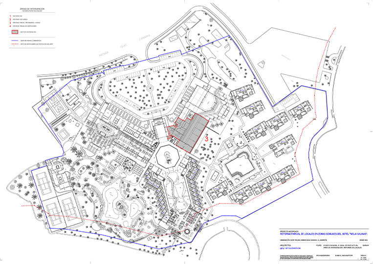
Reference Assets
General Resort Information
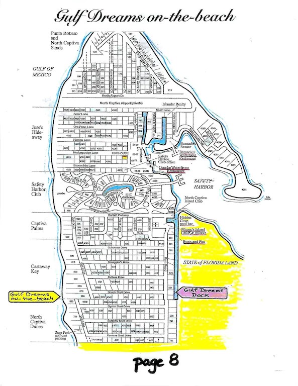
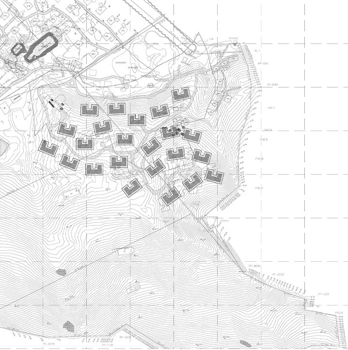
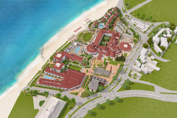
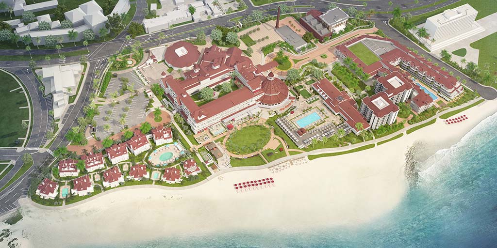
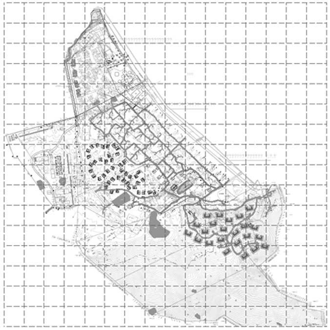
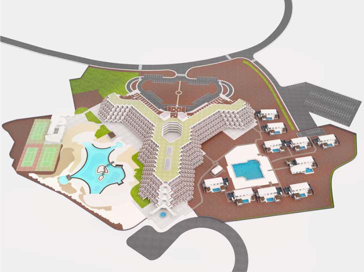
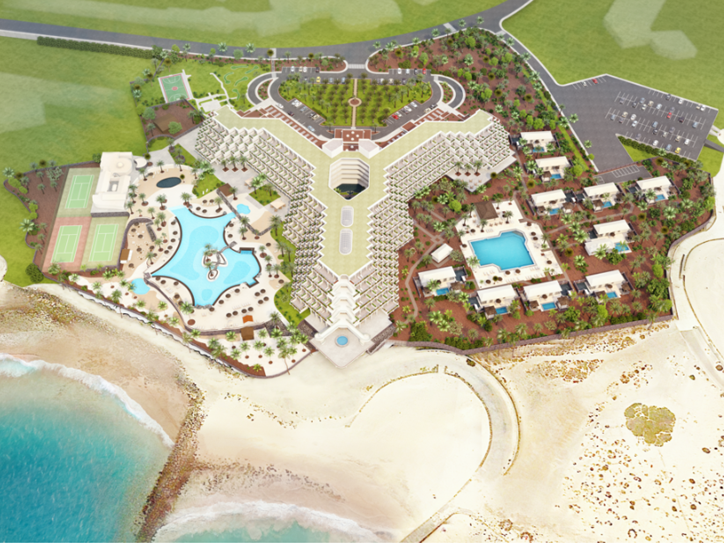
Before our team can get started we need to understand the boundaries of the resort and become familiar with all buildings and amenities. A resort scheme or layout diagram is very helpful in this case.
If no such file exists, then a marked up screenshot from google maps will do. In the example from the Ritz-Carlton, Bali on the left we have the basic scheme diagram provided by the client and the completed 3D map on the right.

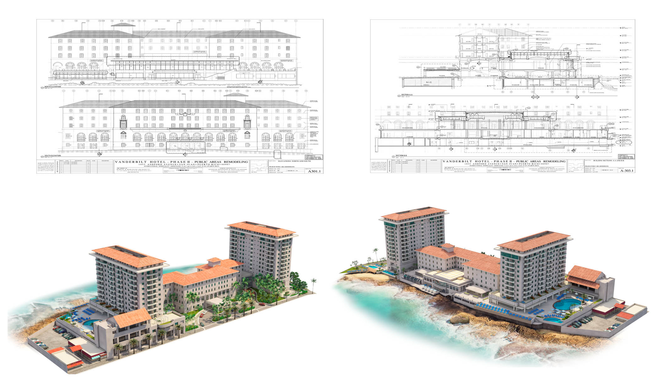
Technical Drawings
Any available blueprints, pdf,cad or revit file of the buildings is useful to correctly create the 3D models. Trees or other buildings often obstruct us from seeing important façade elements and thus slow down our process.
Drawings (floor plans, section or elevations) give us clear information and help us complete the resort much faster. In the example of the Condado Vanderbilt Hotel in Puerto Rico you can see how our team created a photorealistic model using the supplied elevations.
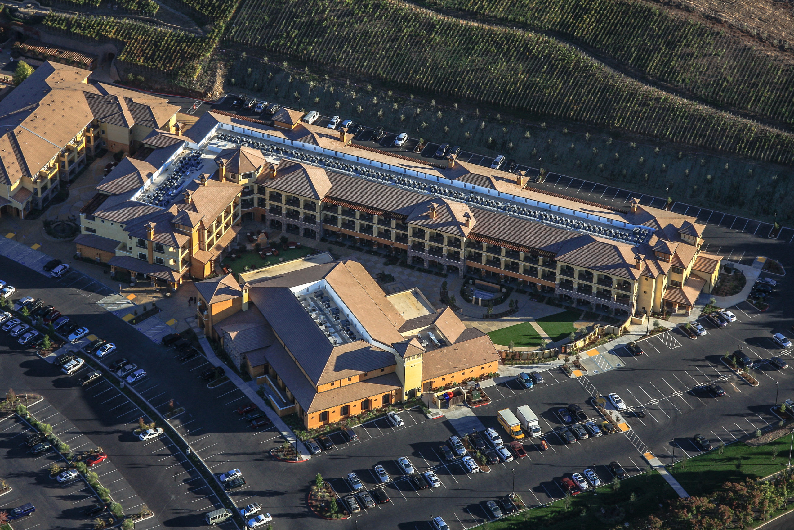
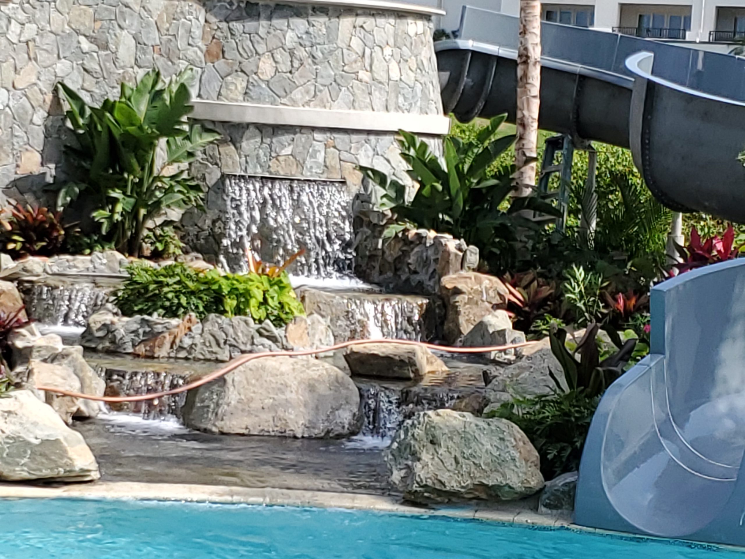
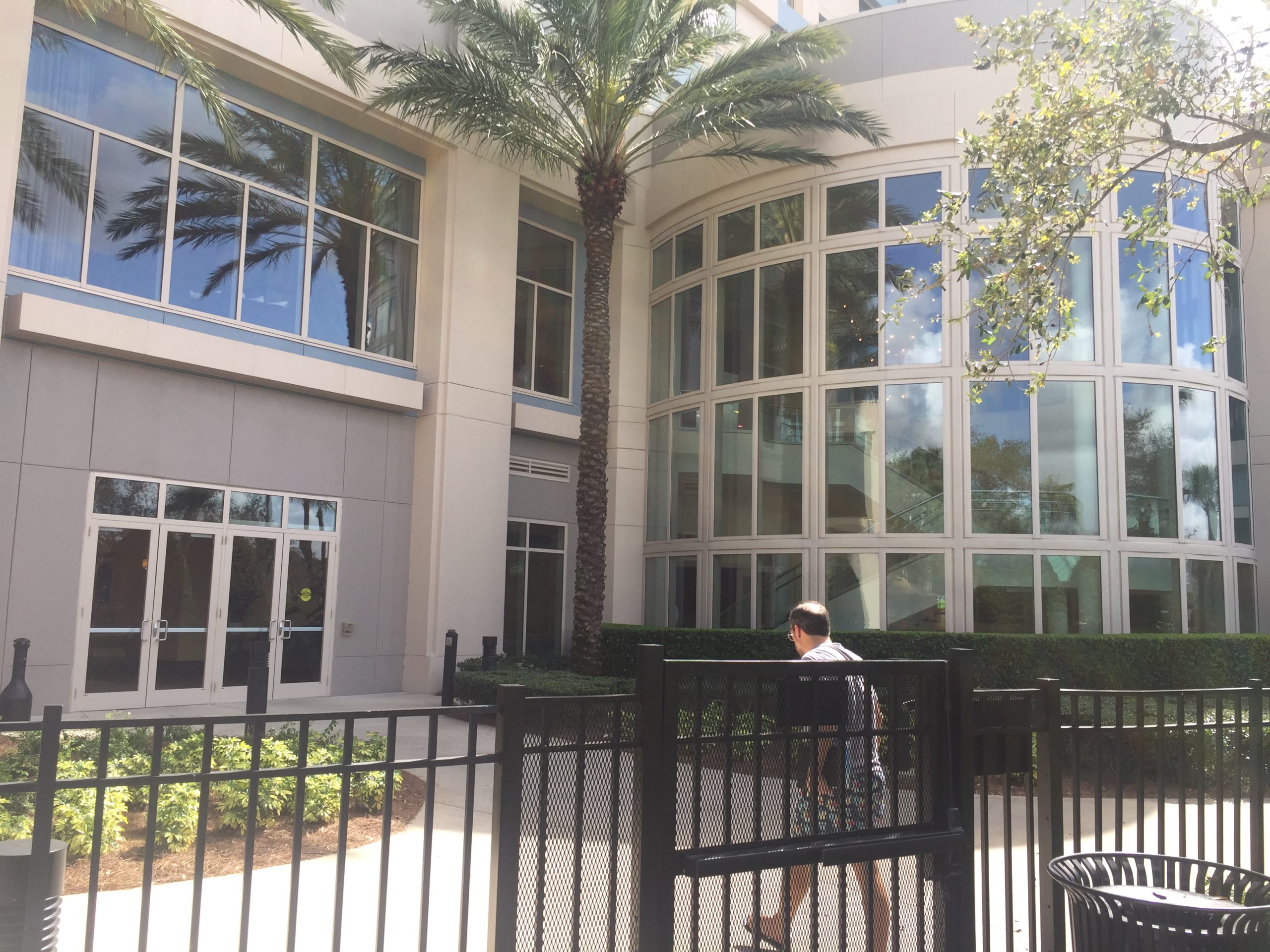
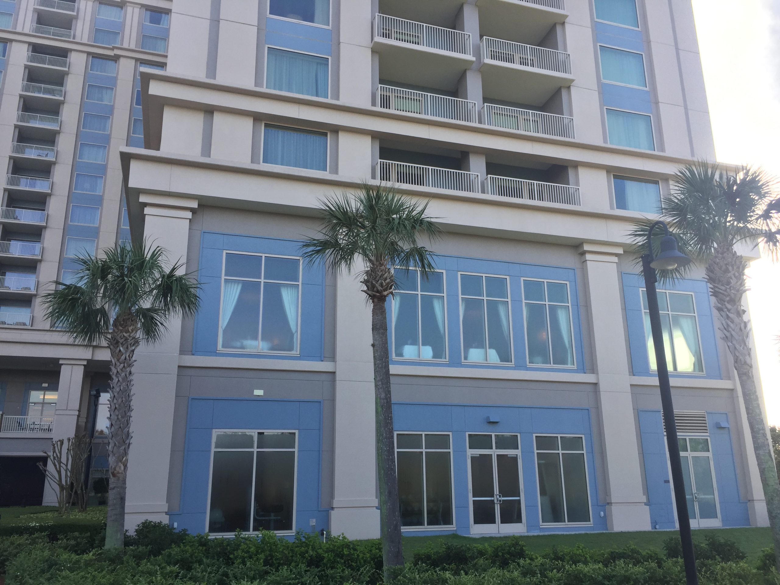
Reference Photos – Establishing photos
Photos that give general information about the location of buildings, pools and other elements. They help us understand buildings as a whole and indicate where the detailed photos are taken from.
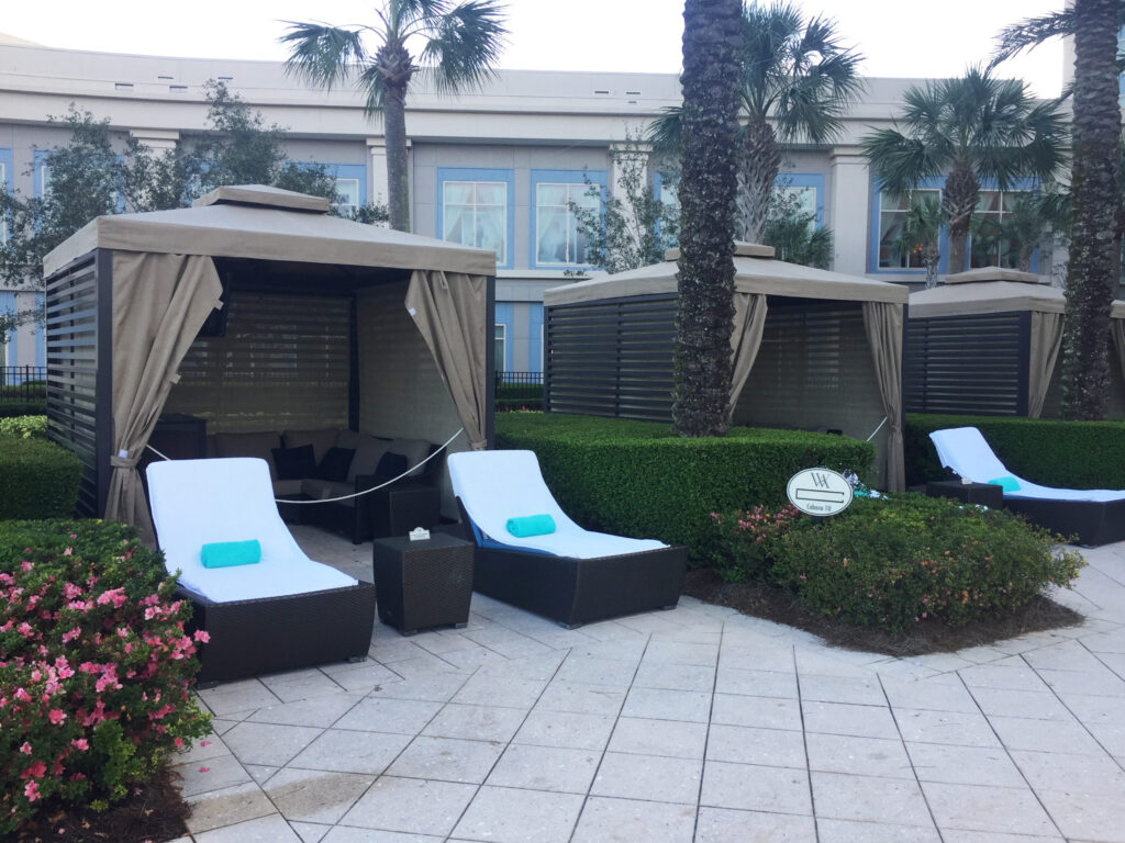
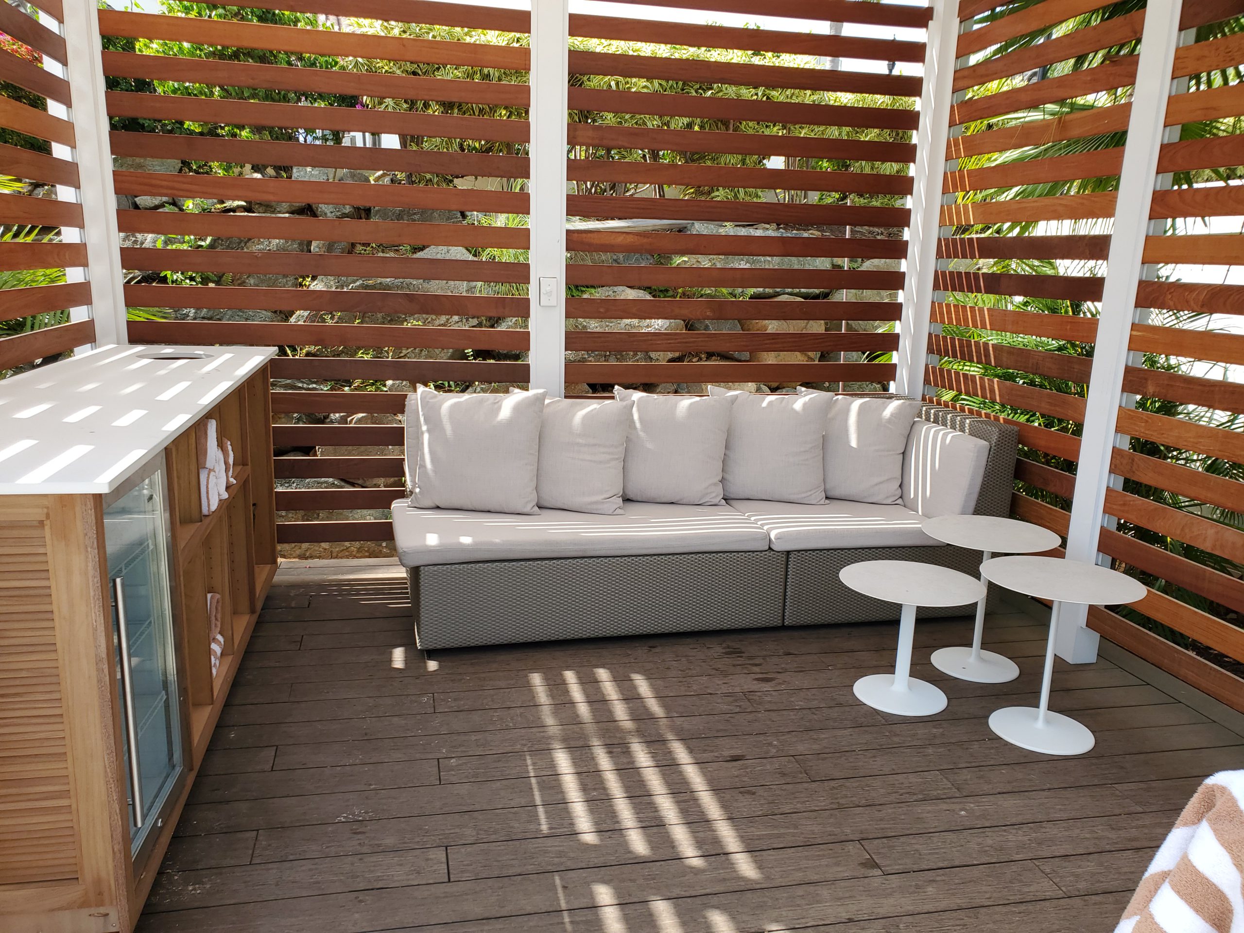
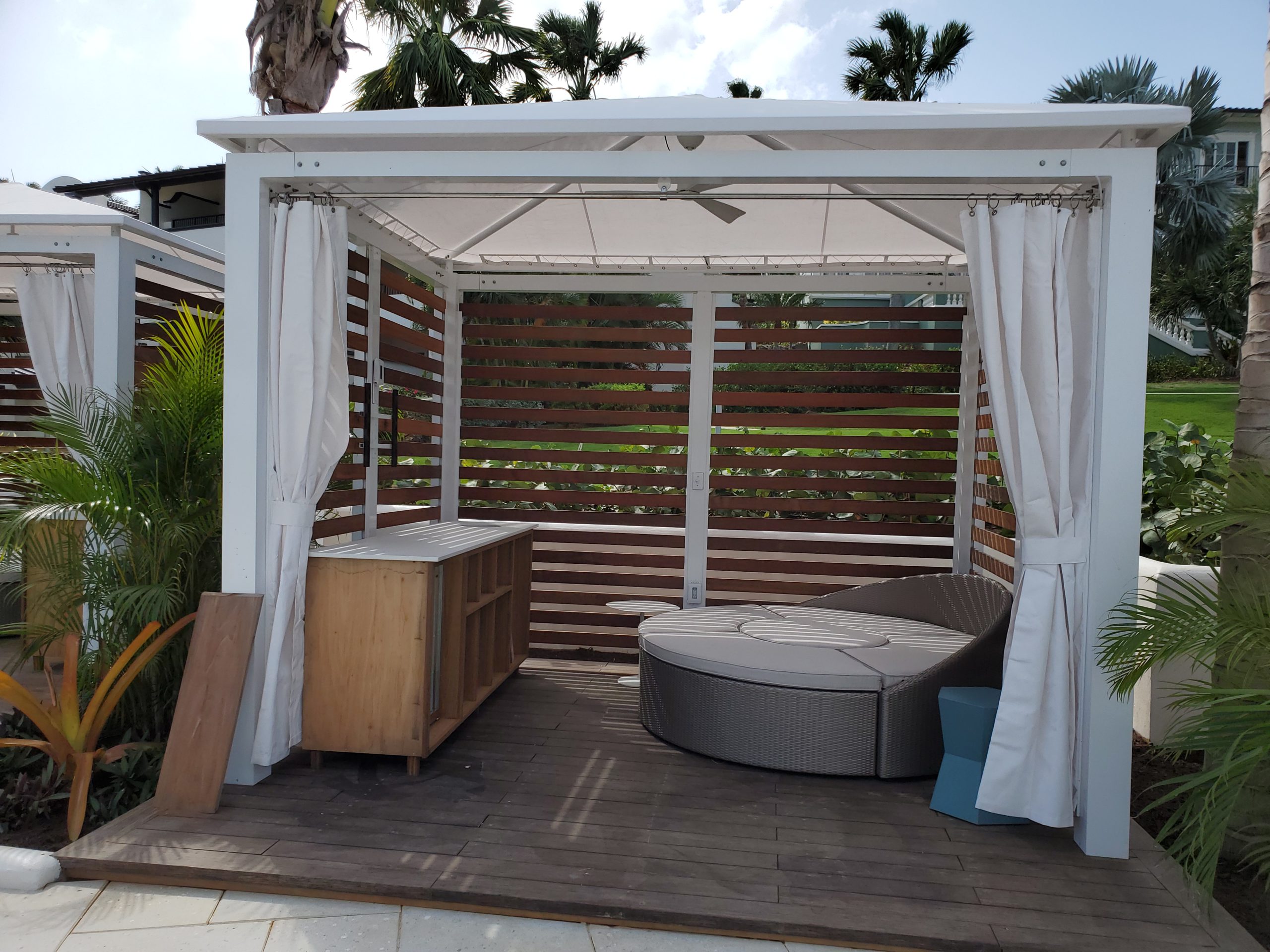
Details/ Close-up Photos
Close-up photos give information about colors, materials and specific building elements, such as entrance points, facade decorations etc. Besides close-ups of the facades, we need photos of the outdoor furniture, fountains, gazebos etc.
Note that it’s important that there is an establishing photo that shows where those close-up elements are positioned in respect to each other.
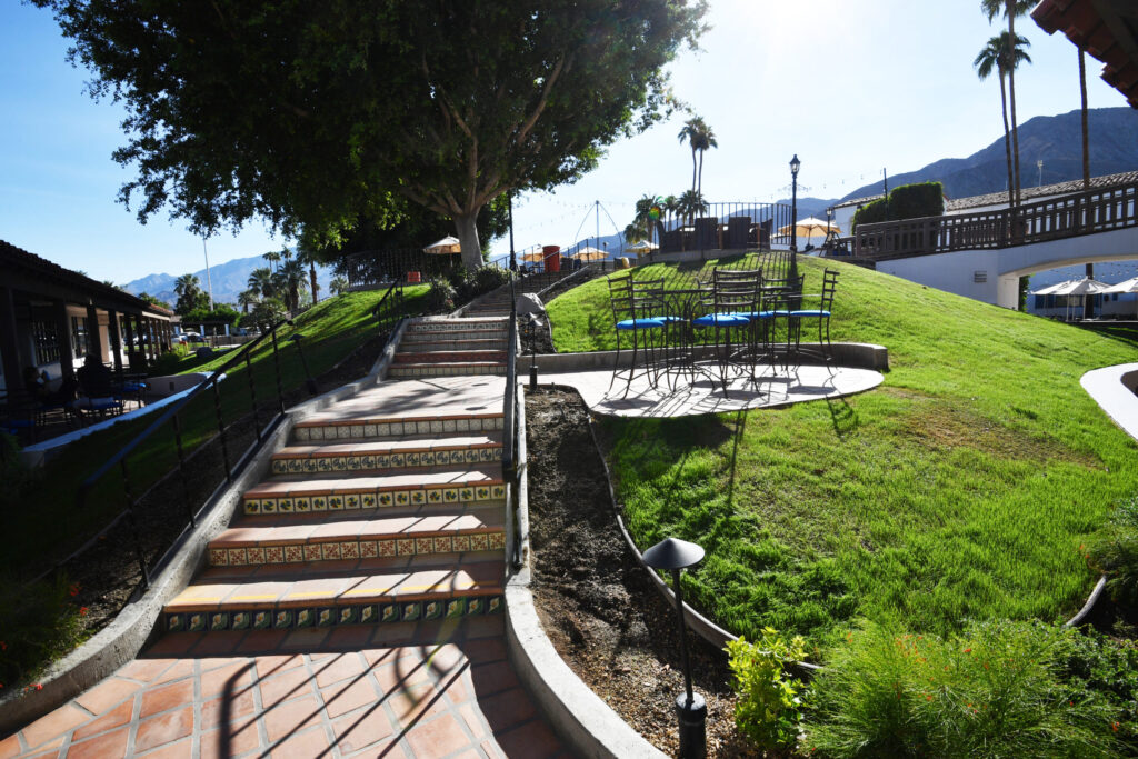
Circulation and access points
In case there are variation of terrain, terraces or various garden levels, we need to understand how big are those variations are and how one goes from one level to the next.
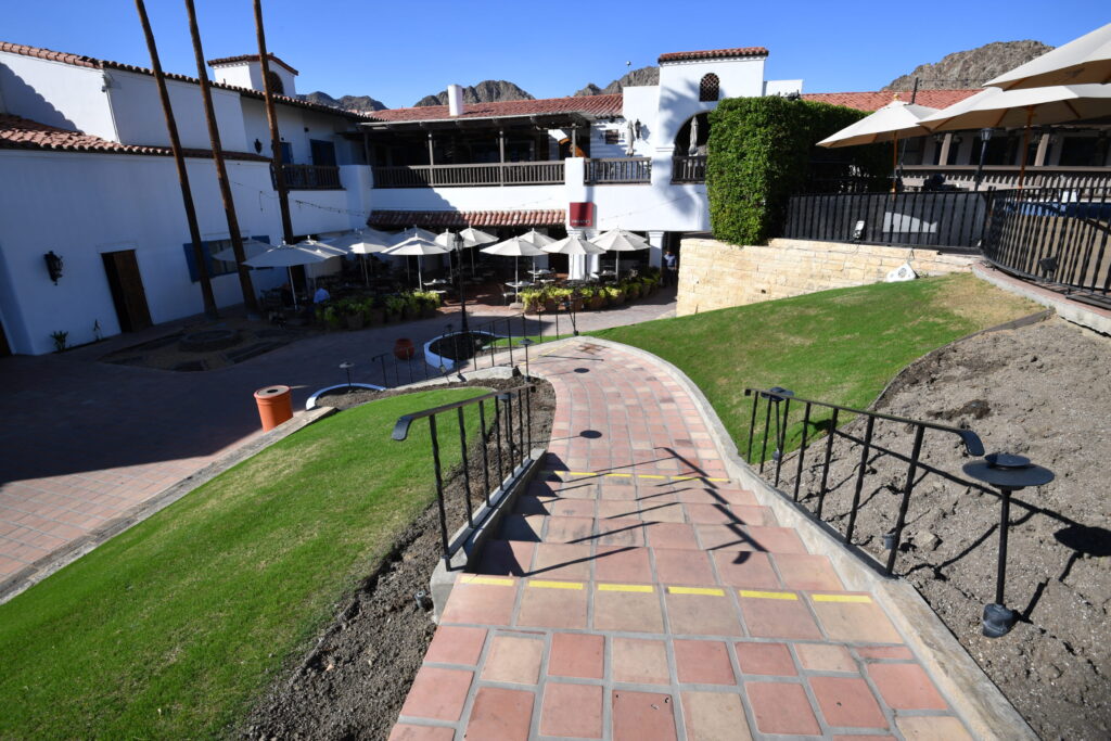
Therefore we need photos of the eventual ramps, stairs, elevators etc.
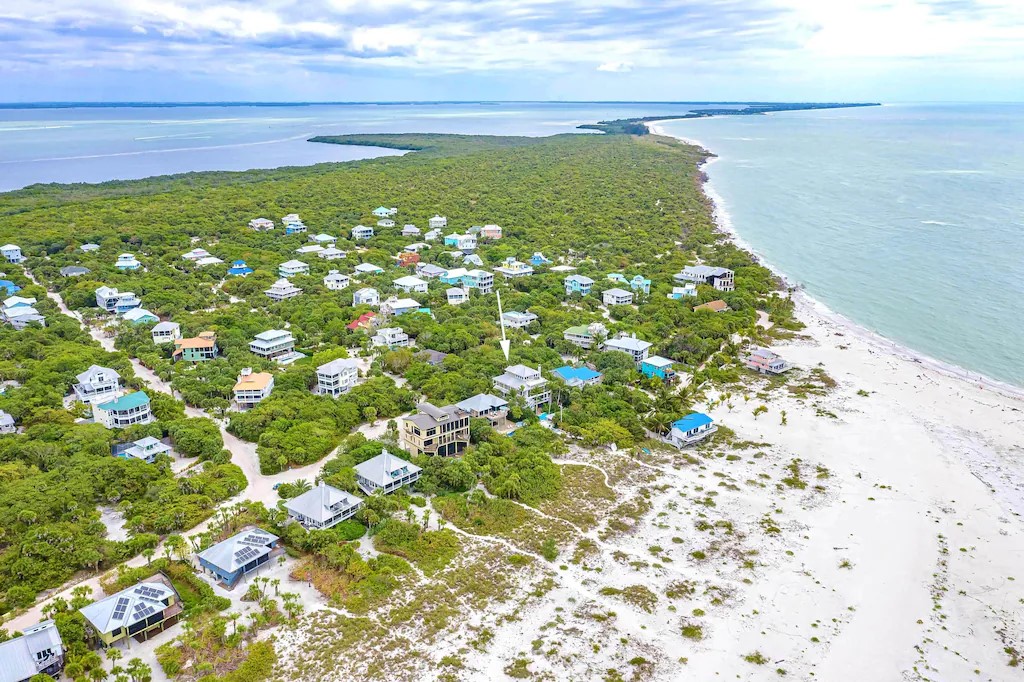
If available, you can also send us aerial photos, drone photos or videos.
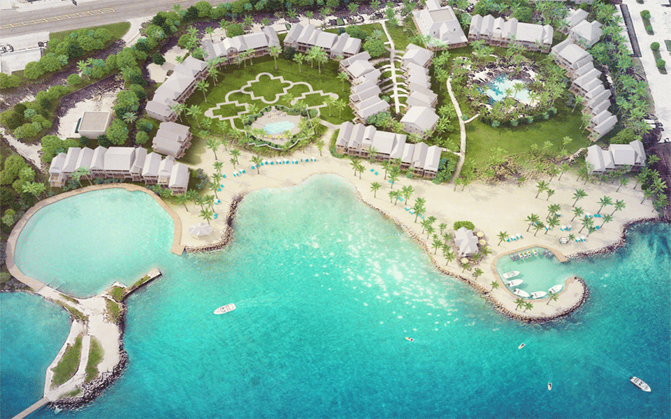
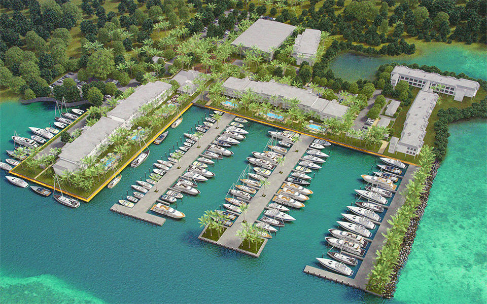
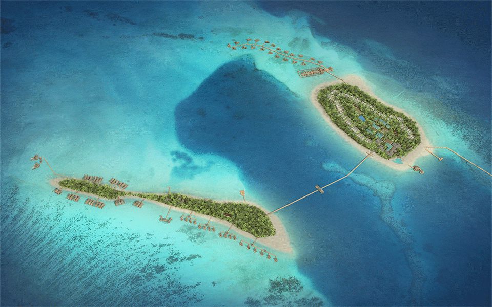
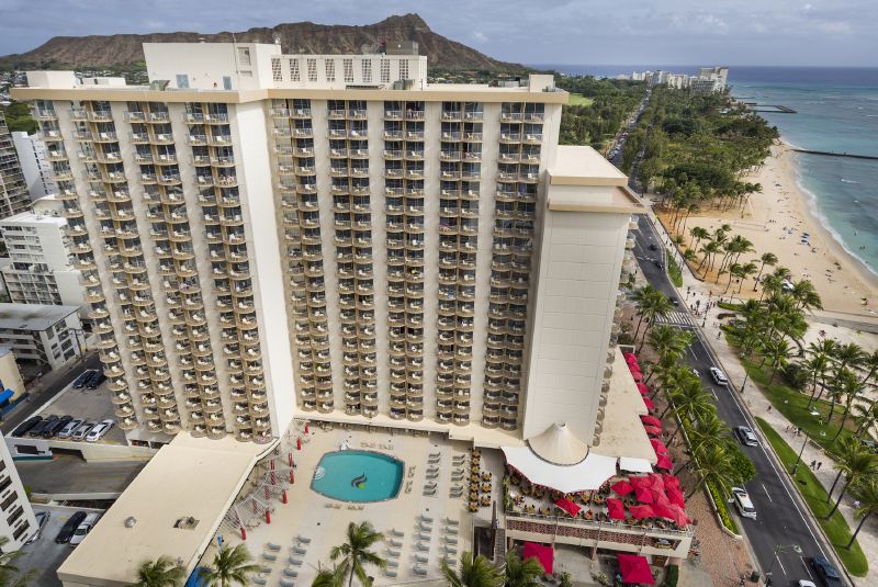
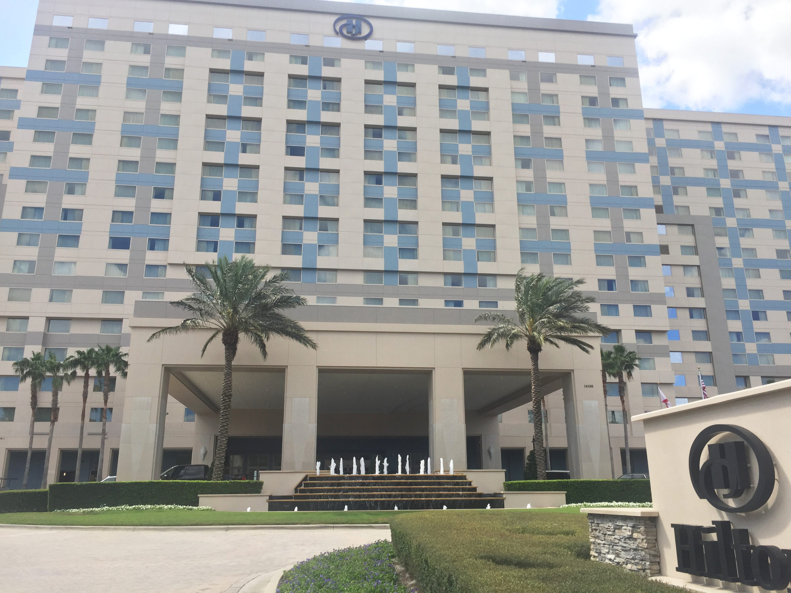
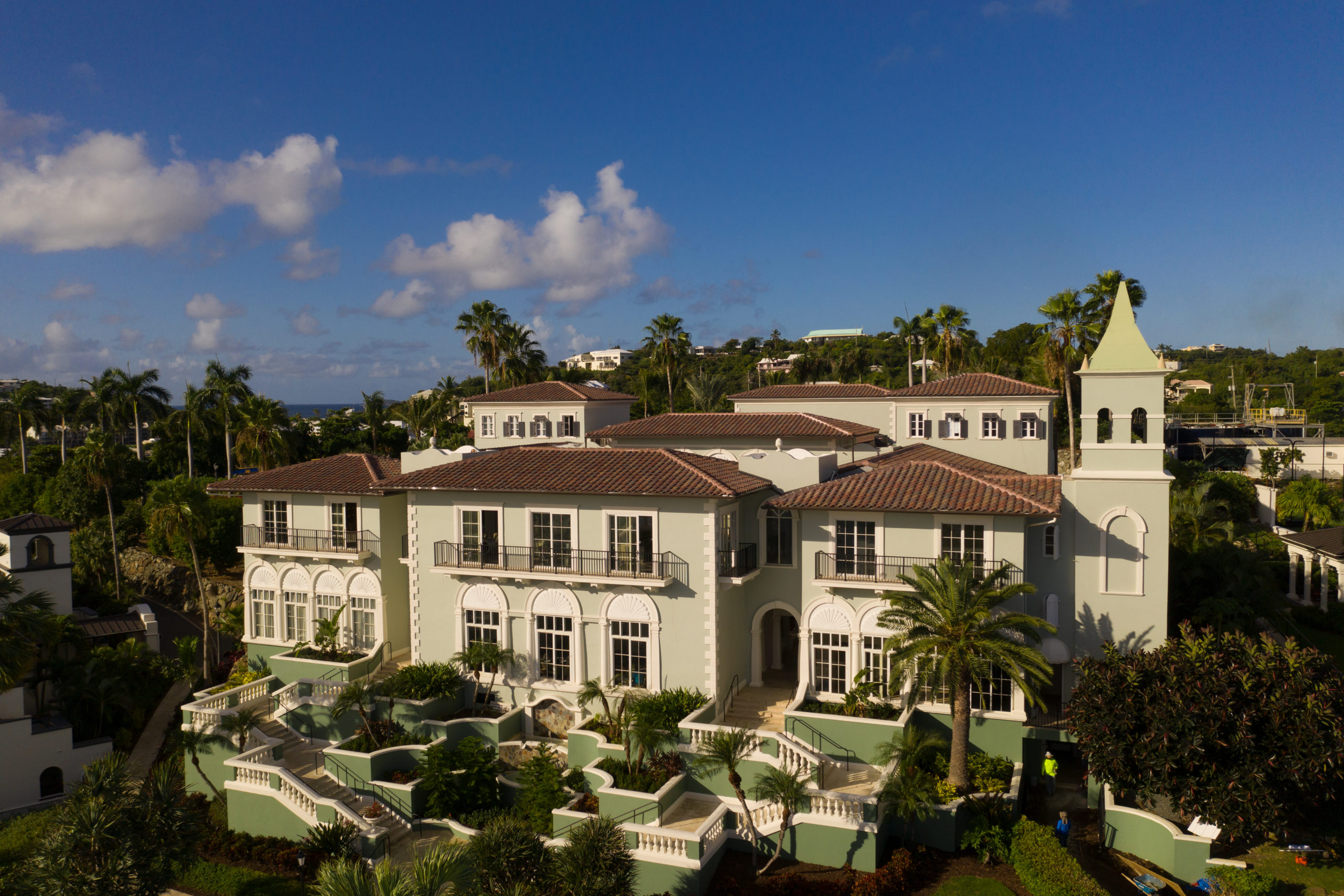
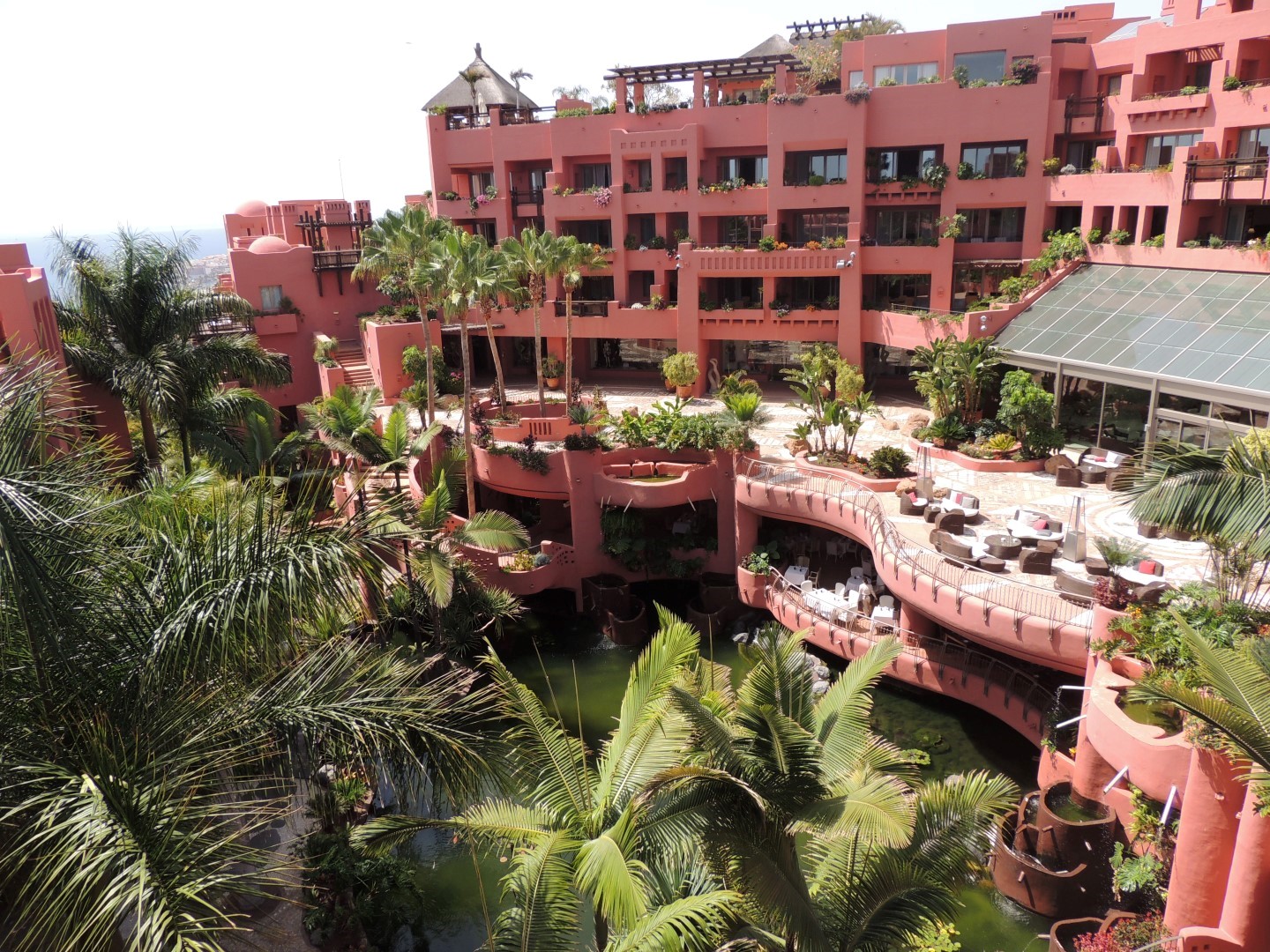
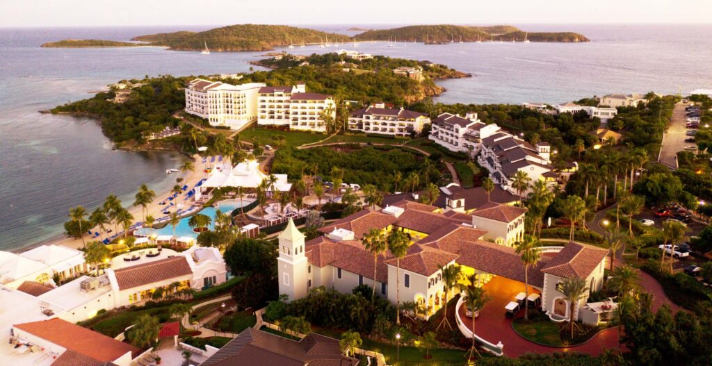
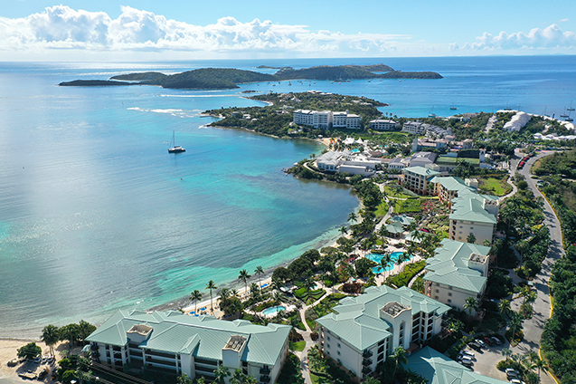
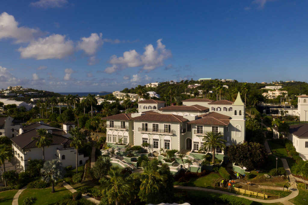
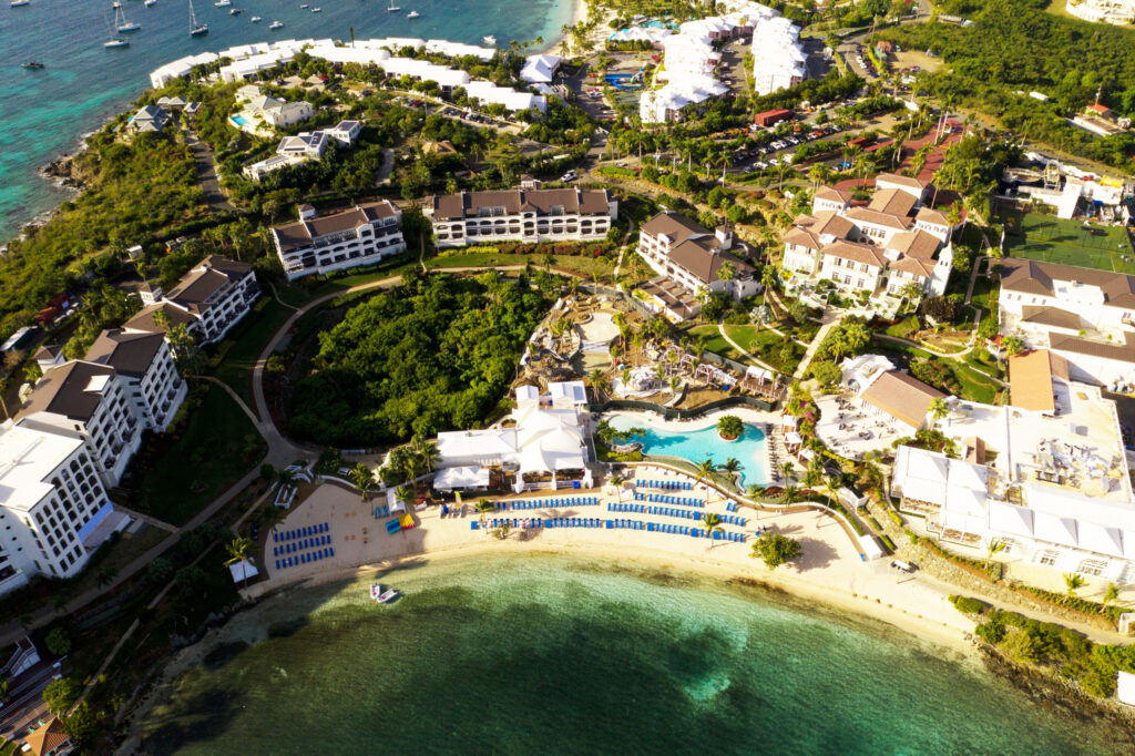
More examples of assets we use and the results we can achieve
Using our Maps Api
Smooth Integration
Adding an interactive map to your website should not require technical support from your website vendor. The map can be added by pasting a single line of code into the page. Our API pulls the styling from your site to match fonts, backgrounds and buttons seamlessly.
Under the Interactive Tab you can access the options for adding the interactive map to your site. Your web developer can select their preferred option (JS recommended) and the code just needs to be added to the source of your page to pull in the map.
All future changes saved in Visrez will update automatically in your site once the interactive map tag has been added to the site.