“Being the highest 360-degree pool in the world, our venue features a unique layout and stunning views and our goal was to give guests a chance to appreciate the venue’s beauty before making a booking. Visrez has expertly brought our vision to life and their team’s expertise and professionalism throughout the process has been truly outstanding”
Iuliia Kharytonchuk – Marketing Manager
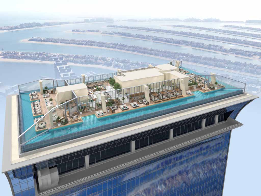
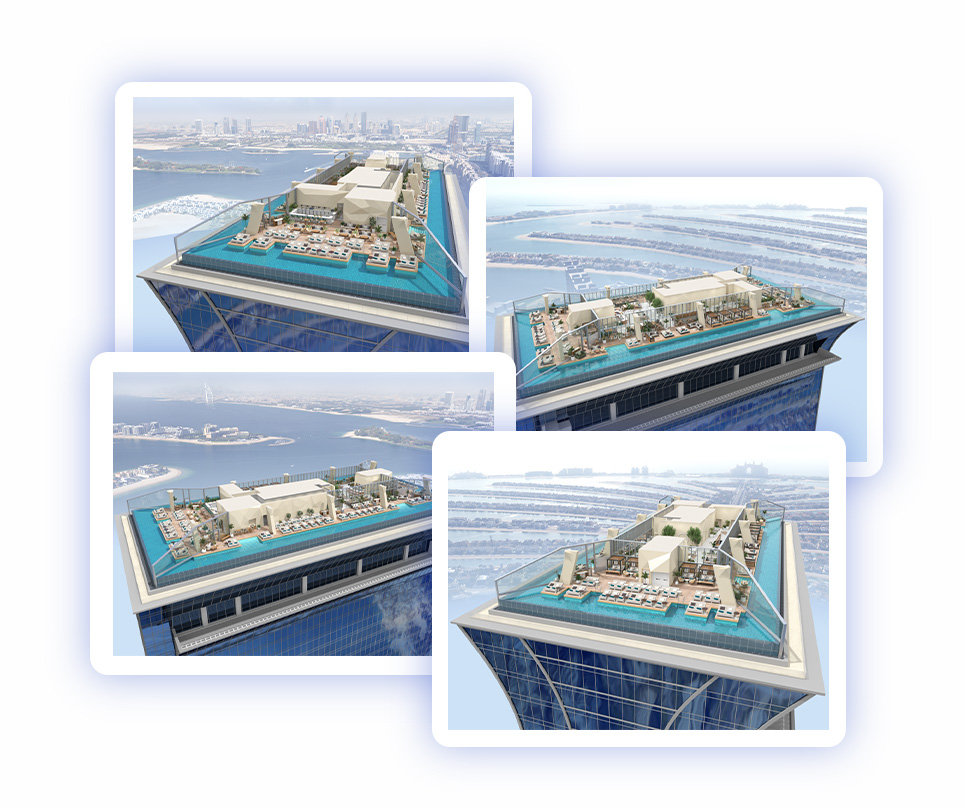
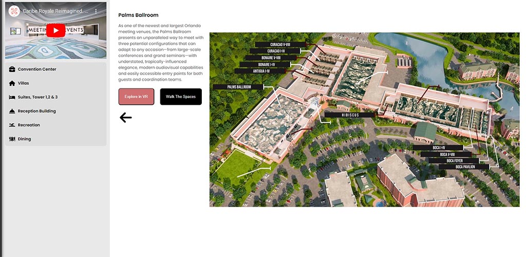
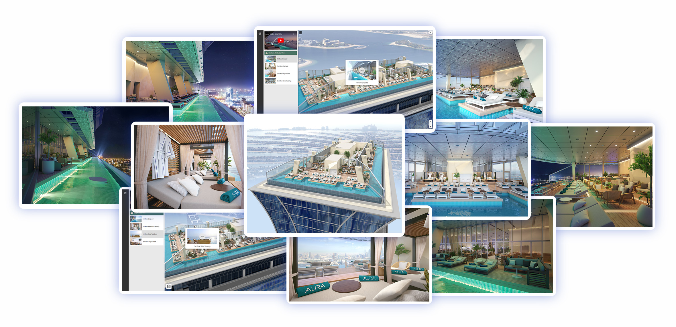
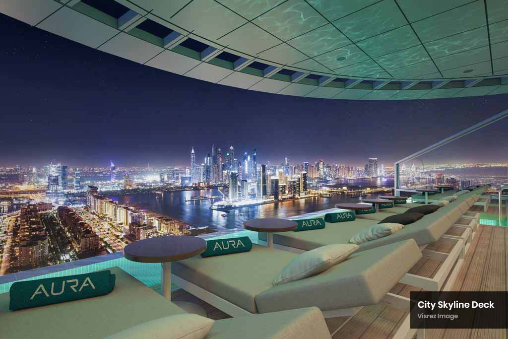
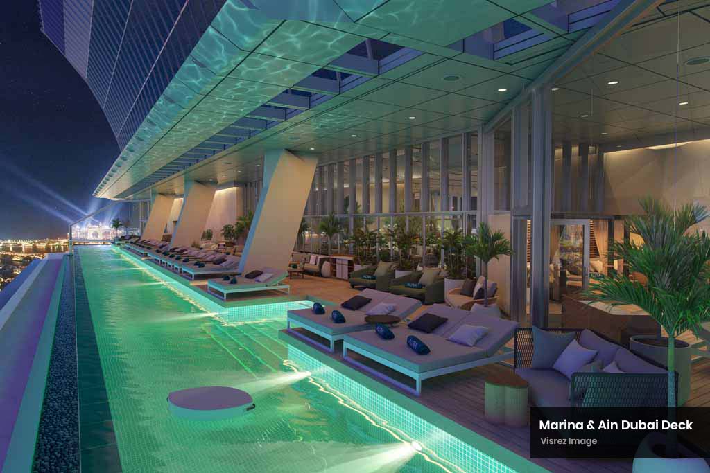
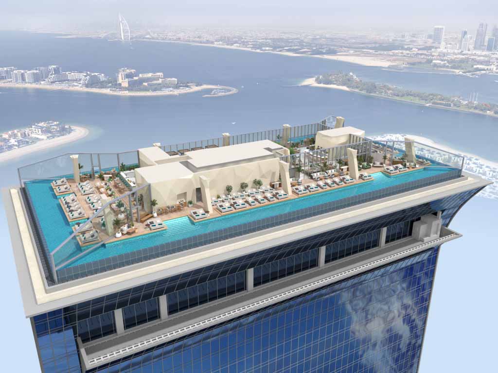
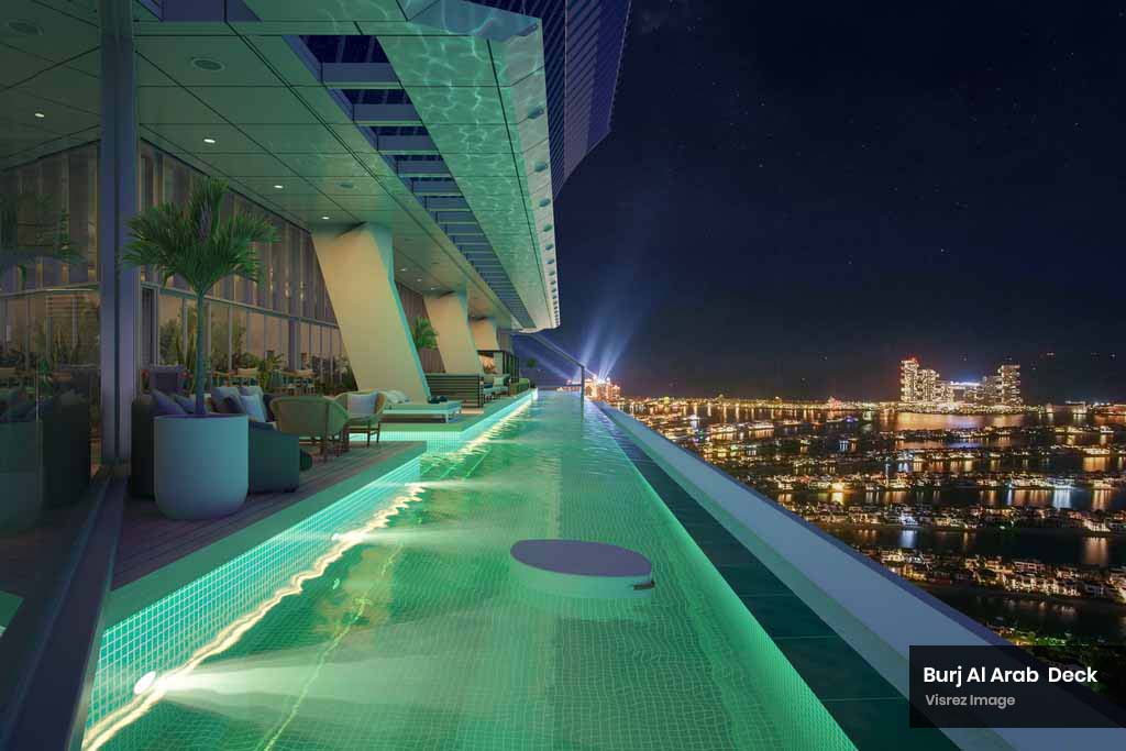
The world’s highest 360 degree infinity pool 210 meters above the sea level, AURA offers an extraordinary experience with breathtaking views of the iconic Dubai skyline, Palm Jumeirah, and the glistening Arabian Gulf horizon. The vibrant atmosphere, where custom-made daybeds and sofas offer the ideal spot to unwind while reveling in unobstructed panoramic views of Dubai’s iconic landmarks. Aura Skypool is the most captivating venue and a perfect fit for Visrez given the challenges of on-site production as the venue is filled with guests from sunrise to sunset. The venue needed more than an on-site virtual tour on its own and by presenting an interactive map the user can understand the spaces far better and use the map as a naigational tool in the booking journey.
Aura Skypool sells experience across daybeds, sofas, high tables and explaining the difference is a challenge for their team. As the venue is adults only and operates from sunrise to latenight managing an on-site photoshoot is difficult. However this was not the only reason why Sunset Hospitality reached out to Visrez. Their team needed a product which could showcase the venue more effectively to communicate the various offerings on each deck relative to the sun’s position from sunrise to sunset. The Skypool team was initially doubtful that a company could bring such a unique space to life without any requiring an on-site photo-shoot but once the Visrez process was explained they were satisfied that our team could deliver a product of the highest quality.
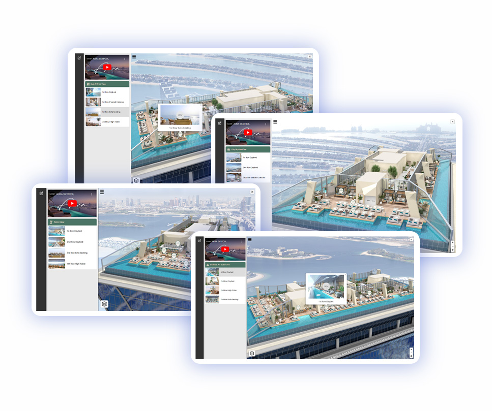
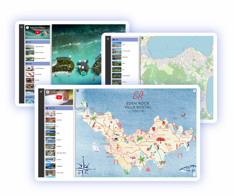
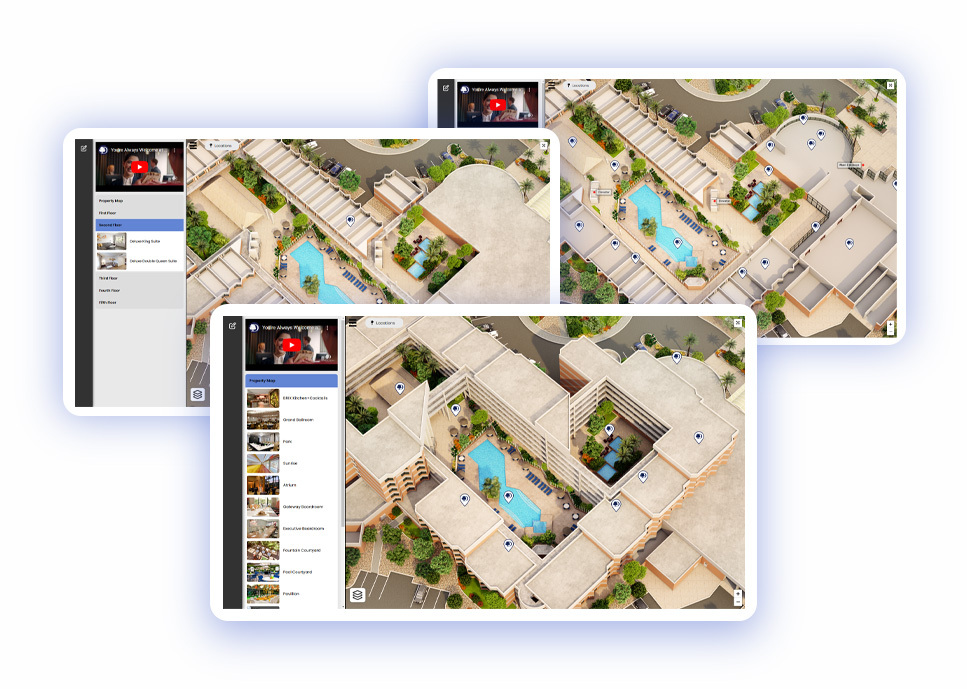
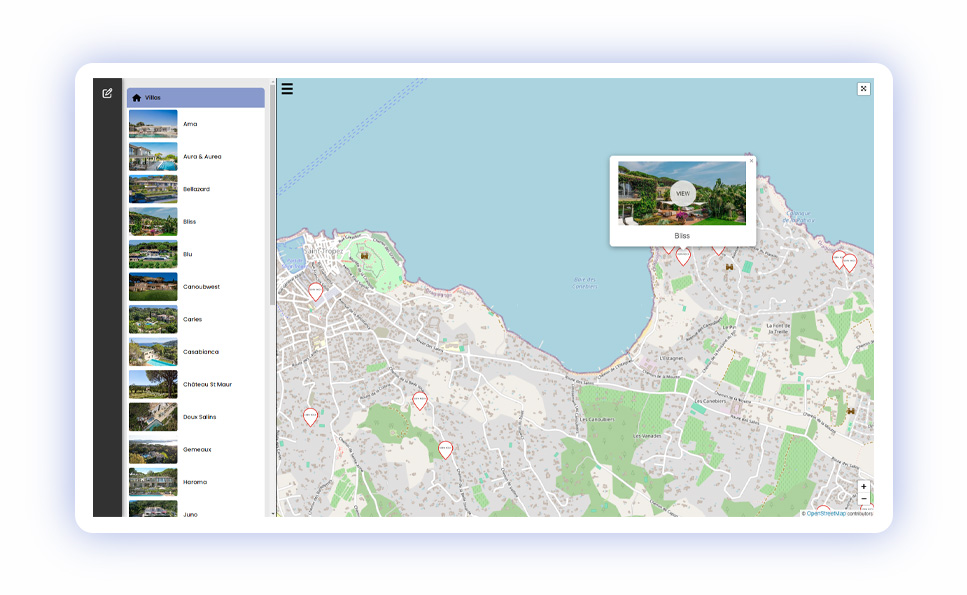
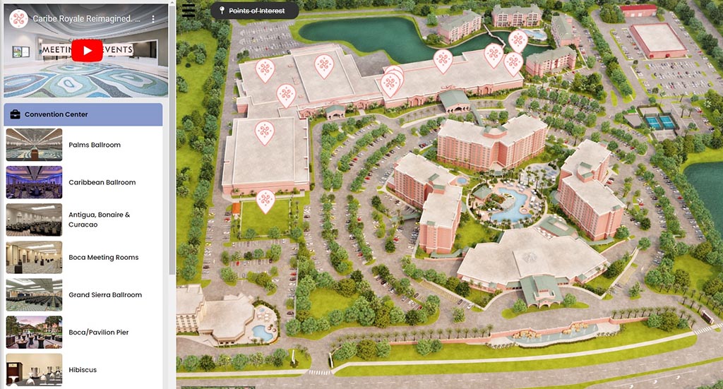
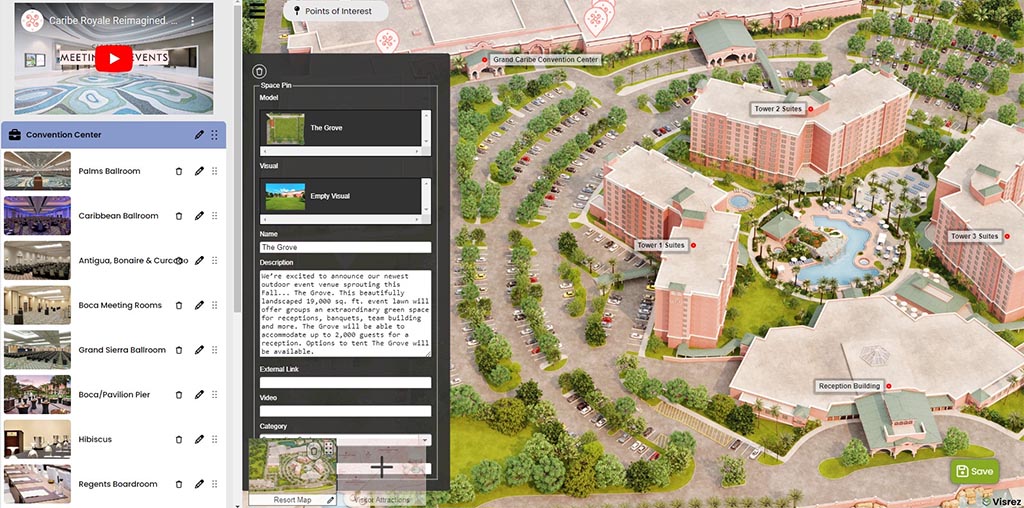
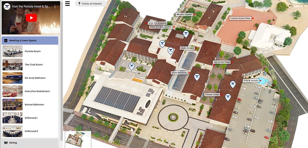
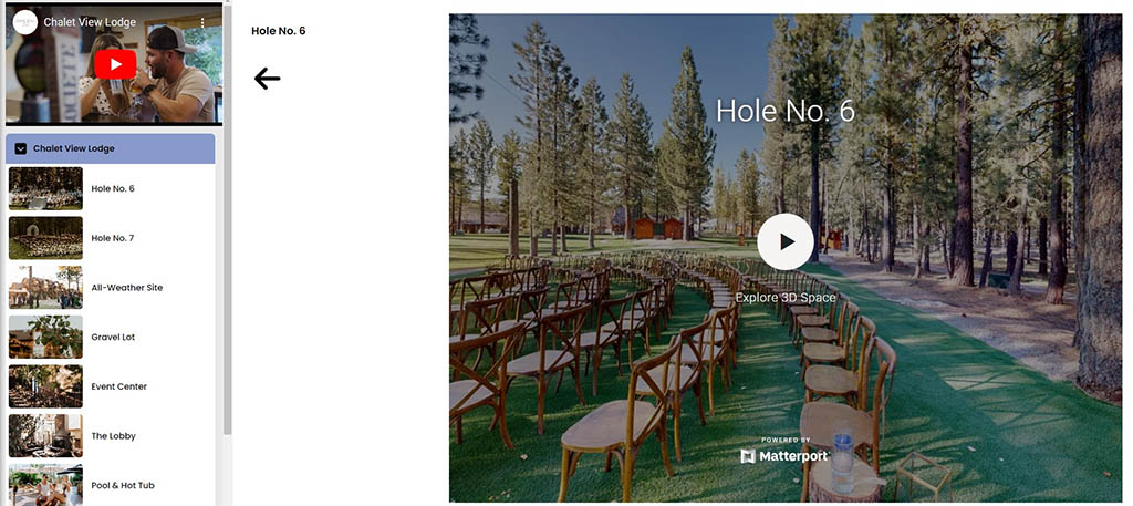
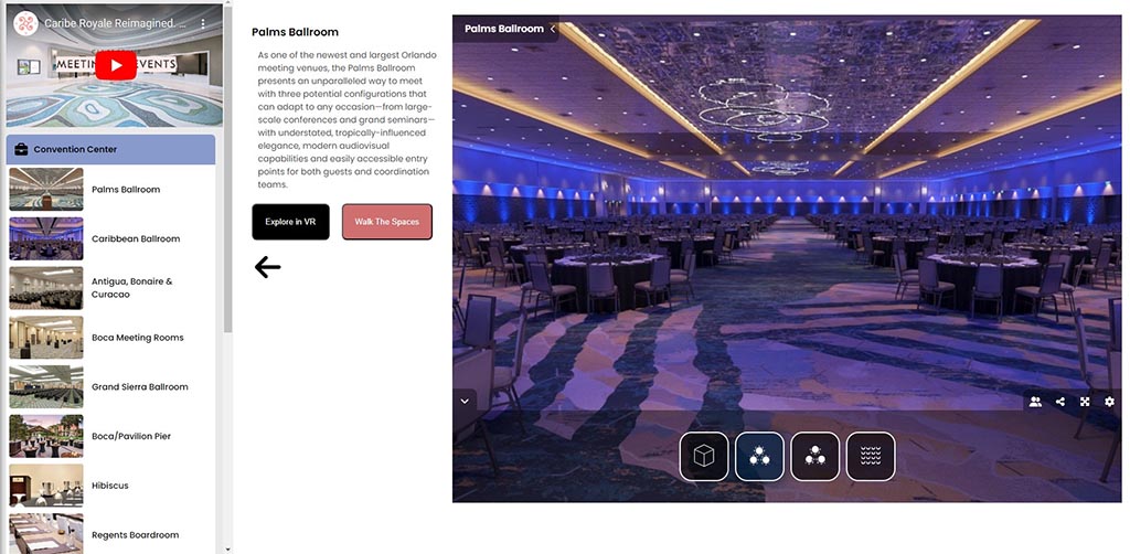
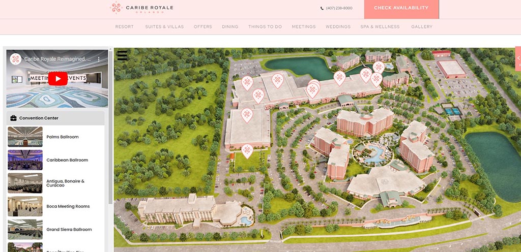
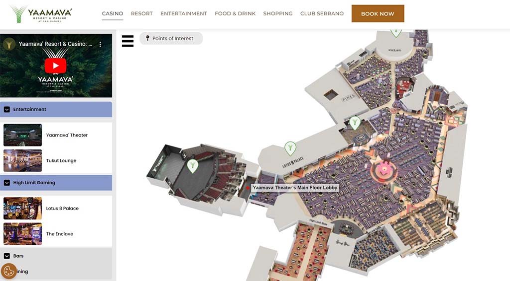
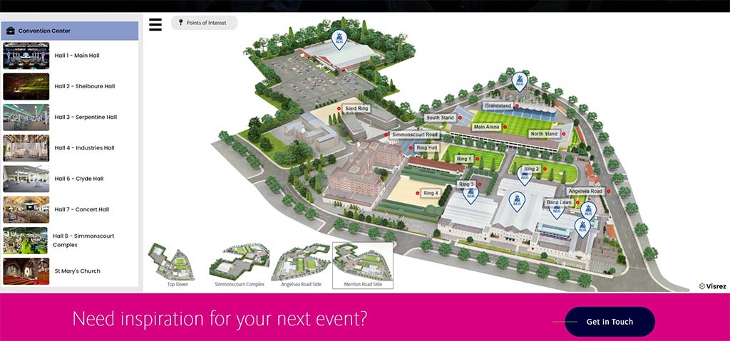
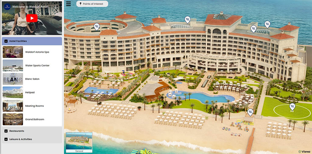
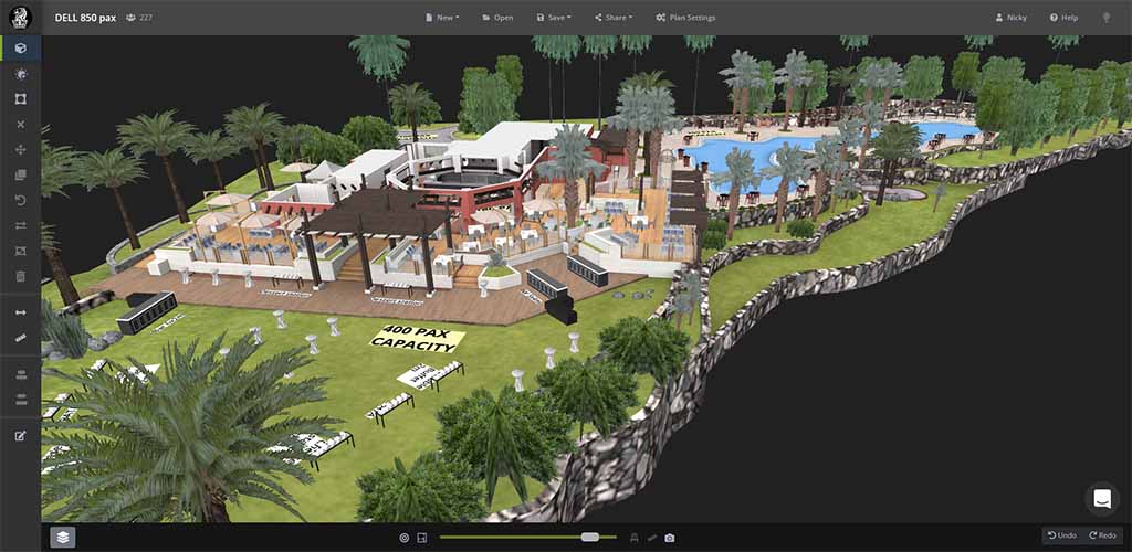
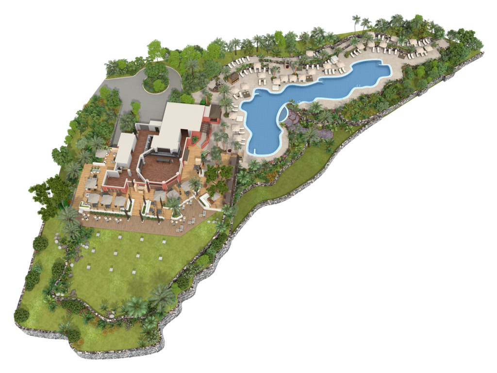
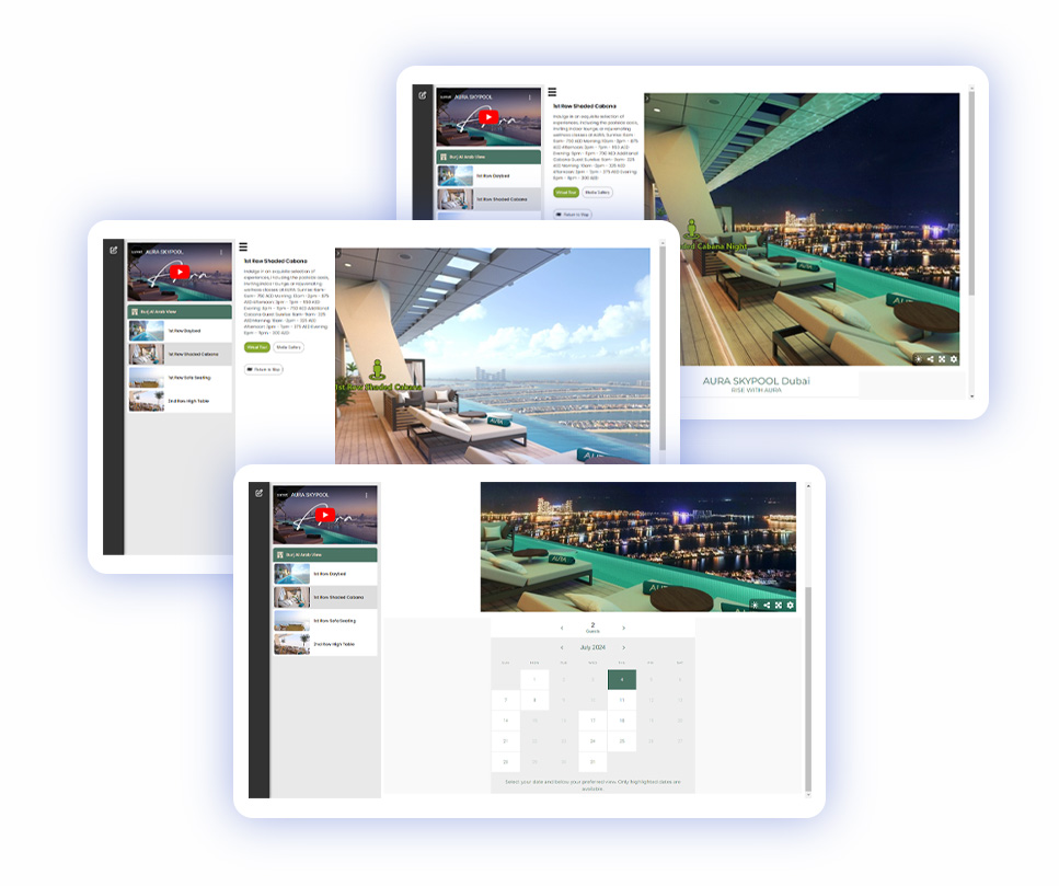
Visrez Interactive Map offers the perfect way to navigate between each of the four decks from an overhead position allowing users to visualize the venue from a unique perspective. Users can select a deck, click on a daybed and take a virtual tour from that position with the abillity to switch between day & night time views. The overview perspective of the Interactive Map gives users a birds eye view of the venue from all sides which cannot be achieved using a Virtual Tour on its own. The elevated camera position of the map makes it far easier for guests to understand the spaces during the booking process and can drop into each deck for a Virtual Tour of that position with the pricing clearly available for each section of the venue.
The Skypool Interactive Map has integrated Sevenrooms, the venue’s guest experience and reservations system. This means that guests are not directed into another system to make a booking. Incorporating reservations into the map brings it to the next level as a sales tool as the Skypool team can share individual markers with guests to allow them to place a booking at that deck. The combination of an interactive map, virtual tour and reservations tool solves the problem the Skypool team outlined at the start of their conversation with Visrez, that of helping users to understand the available spaces at the venue across each of the four decks relative to the sun.
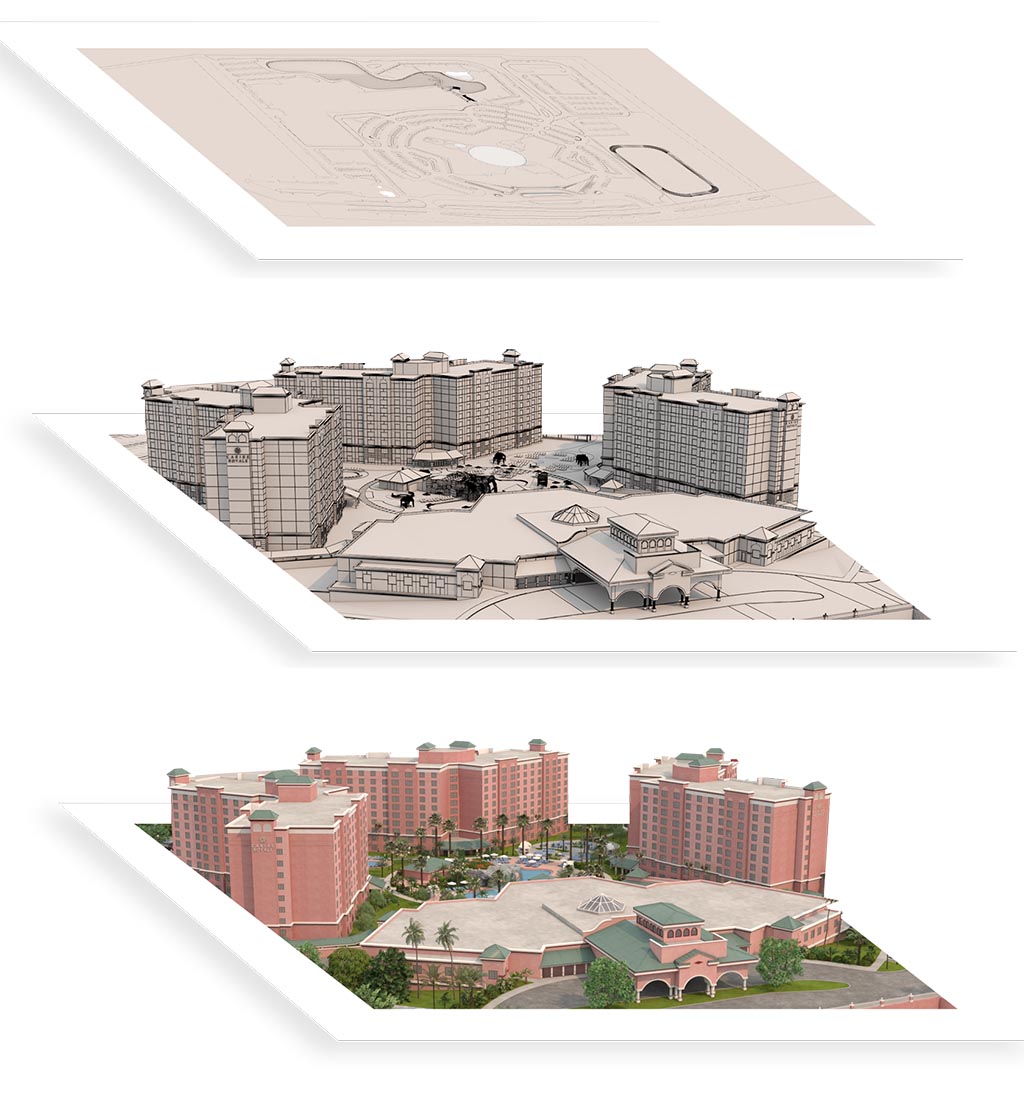
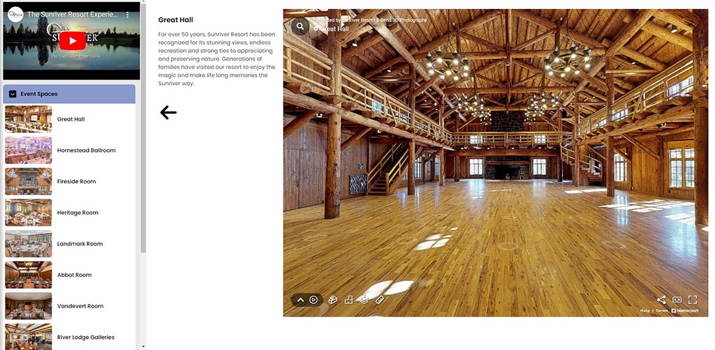
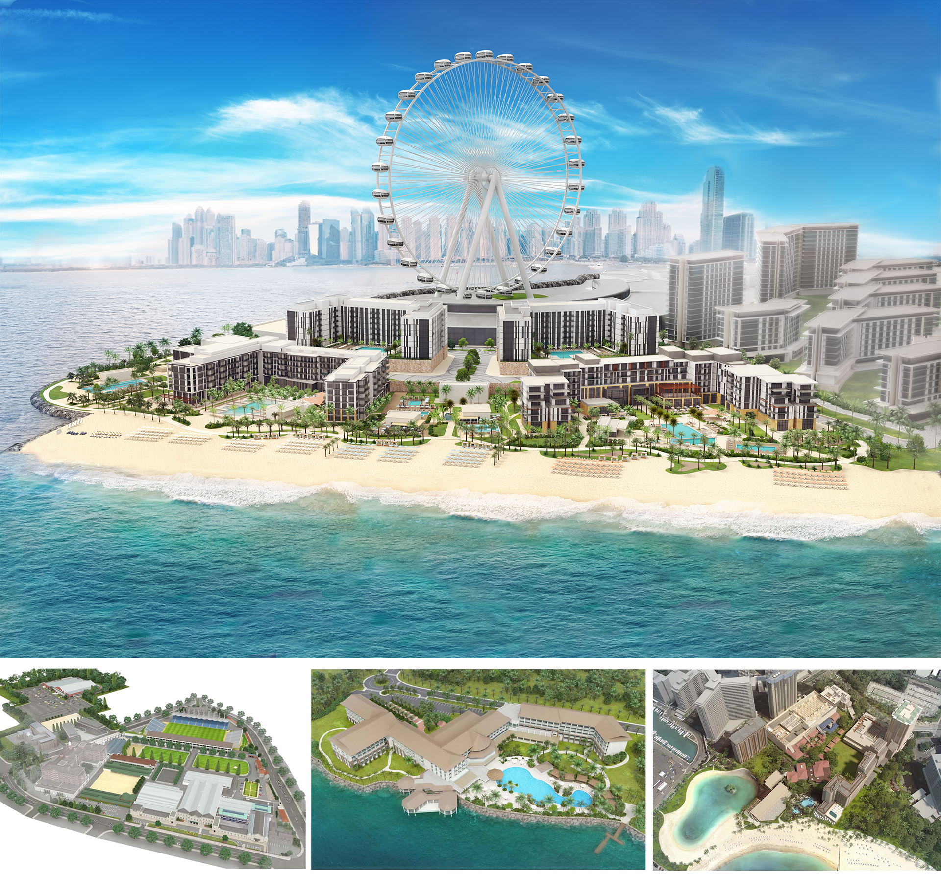
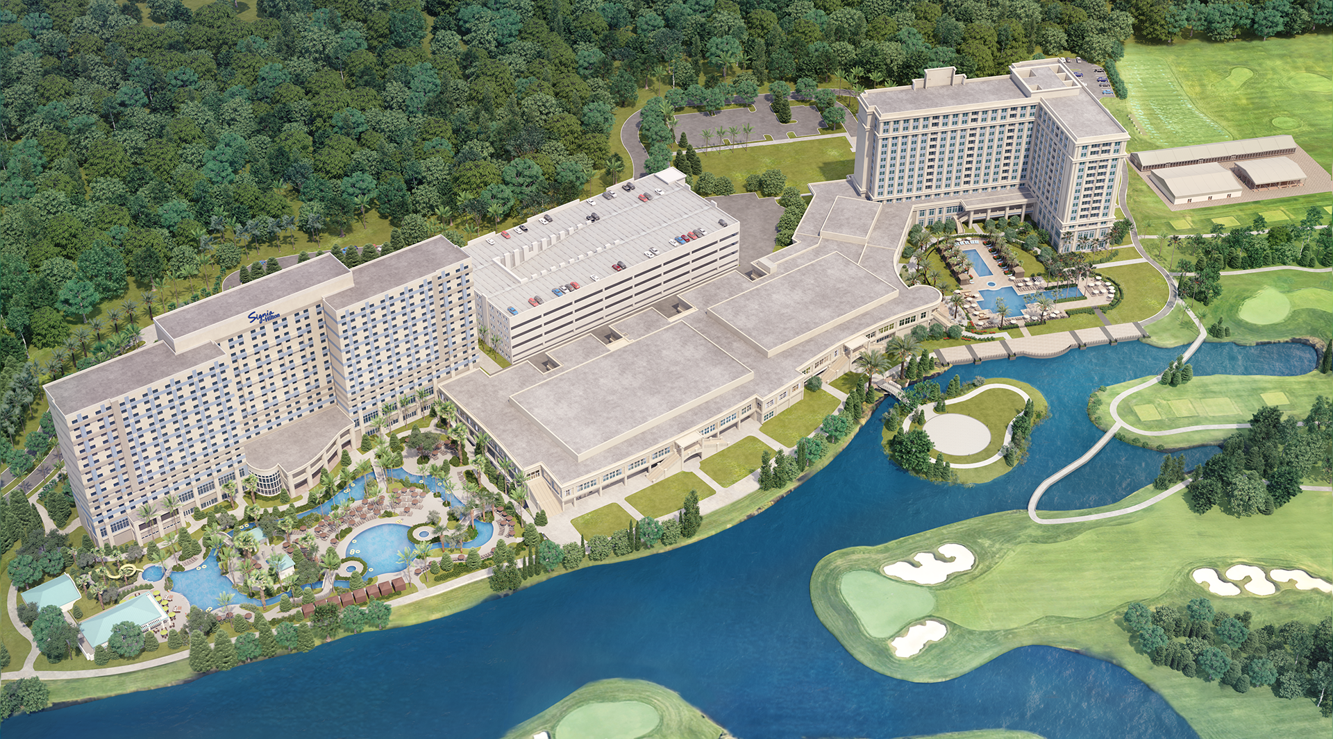
The 3D Virtual Tour was produced entirely off-site with no production taking place at the venue. The structure was modelled in phororealistic detail with the views from each deck added to complete the immersive experience of this spectacular venue. Visrez Interactive Map Builder enables the Skypool team to create unique maps for specific groups which can be shared directly with planners and clients. The Skypool sales team now has a suite of 3D Visualisation tools to communicate and sell with more clarity than ever.
The Aura Skypool team can manage all aspects of the Interactive Map using the built-in editing tools in Visrez. They can add markers, call outs, videos and links to any asset in the venue. Branded map markers can be shared for an immersive experience from the decks with integrated online reservations. The events and operations team can create custom 3D diagrams using Visrez Floor Plan Builder using an exact replica of the space and furniture to allow their clients to visualise how private events could look without an on-site visit.